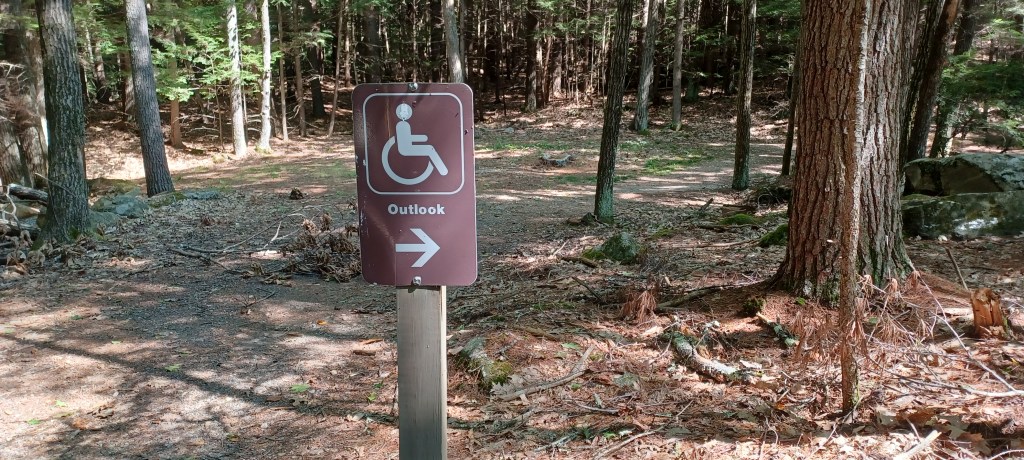
Knowing what trail surfaces you might encounter can make a difference in whether you feel you can visit an area or not.A handicapped accessibility designation can be helpful, but can also be misleading. This location had tree roots that made wheelchair access limited. Knowing such details can make the difference in each person’s decision whether to visit a specific area or not
This article was first published at the Travel Massivewebsite. Many thanks to their editors for providing a platform for travel interests of all kinds, around the world.
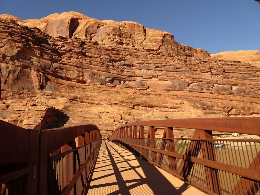
Knowing about bridges with railings is a big plus for those with balance issues. “Know before you go” is so helpful
Lots of trail guides and magazine articles provide information about the compelling reasons to visit any certain area. What is consistently missing is information about trail surfaces. Whether you have a disability or simply enjoy the outdoors you can be make a difference to others by noticing and then sharing with others details that are included in the article below.
My Story of Hiking with Mobility Challenges
Mobility challenges do not keep people home. Lack of information and/or support makes getting outside more difficult
Travel Massive article:
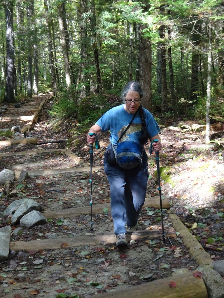
Some people think that because I have written a number of trail guides I must be a super hiker. In fact, there was a time in my life when walking across a room was an insurmountable challenge. While healing has come after disastrous brain surgery that saved my life yet left my right side paralyzed, I still require support to navigate uneven surfaces: bumpy sidewalks, crowded airport terminals, or rooty or rocky outdoor spaces.
One of the most important factors that dictate whether I can safely manage an outing is asking about an area ahead of time. To safely navigate an outdoor trail, I need to know about trail surfaces Easy Walks, that is, not too many roots or rocks, relatively level, with something of interest along the way.
While out walking, do you find yourself thinking about things that have absolutely nothing to do with your surroundings? I know I do. Pairs of walkers passing by chat about all sorts of things—family, friends, work, etc. Other solitary walkers stride along, their thoughts unknown to passersby.
When I get outside my thoughts often stray to unsettling situations. Somehow the quiet, the beauty all around me opens a door to places I tend to avoid thinking about. However, I also have had instances when these times of quiet have helped me make sense of confounding situations.
If you will, take a walk with me. My hope is that in hearing a little of my own story it might help you make sense of something in your own life.
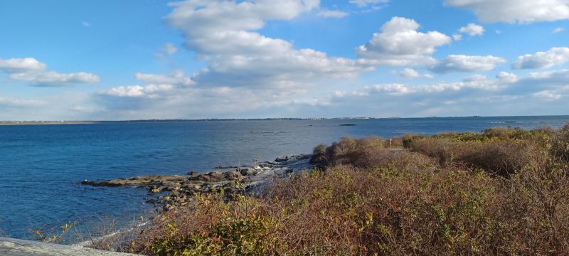
Visits to Sachuest Point National Wildlife Refuge in Newport, RI never disappoint. We enjoy the wide level graveled path that encircles the spit of land jutting out into the surf. Although we have been here countless times, it never gets old.
Rocky Point amusement park was a “go-to” destination for summer visitors in Rhode Island for many years. First arriving by boat, later by trolley and finally by car, people found open fields, a restaurant and carnival type rides, which drew huge crowds through the years.
The nation’s 200th anniversary celebration of 1976 was an occasion when hundreds of thousands arrived at the park for a shore dinner. By the early 1990s the privately-owned park closed and remained that way till 2014 when it reopened as a state park.
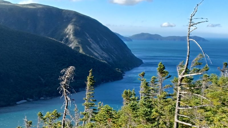
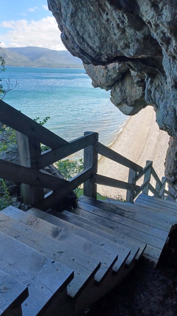
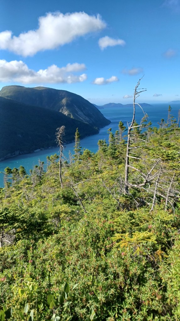
Our trip to Newfoundland had so many highlights, but perhaps our favorite spot, for many reasons, was Blow Me Down Provincial Park, located between between Lark and York Harbor.
Stairs to the top of the mountainView from the top
For those more adventurous than me, the park offered a stairway to the top of the mountain that met the shore next to the beach area. Wooden steps follwed the edge of the mountain up to the ridgeline. My husband hurried up to the top on our first evening there, taking advantage of the late sunsets of the Newfoundland summer season. At that point the sun did not set till about 9:15 PM. I enjoyed the photos, and was fine with avoiding the steep climb up to the view.
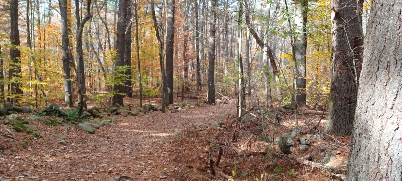
As we crunch along on the trail through fall leaves that now lie underfoot, we are reminded that winter is not far off. Here’s an excerpt from my memoir, My Liturgy Of Easy Walks: Finding the Sacred in Everyday (and some very strange) places.
Sounds of Silence
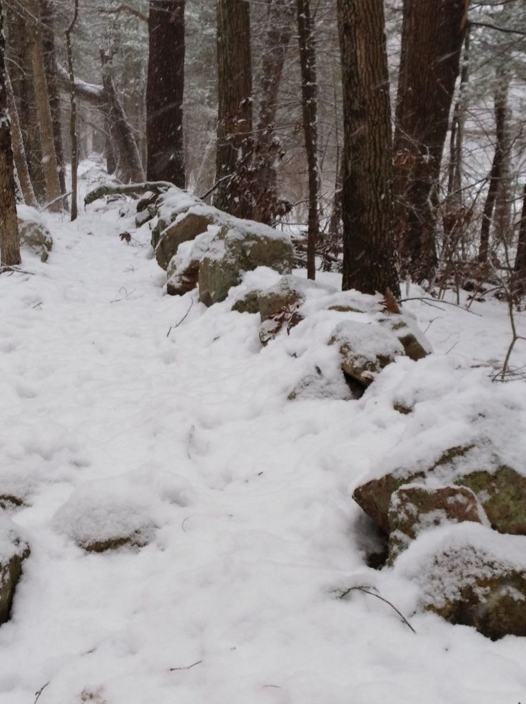
We were tromping through the drifts on a short walk in new fallen snow when I spotted the tracks. Ha! These were our own footprints—we were retracing our steps, headed back home. We had ventured to an old trolley line rail bed that still stands in the woods near our house. The dirt road cuts a straight line through the trees; the path we took did not. Despite the straightness of the trail we still created a wobbly line as we walked.
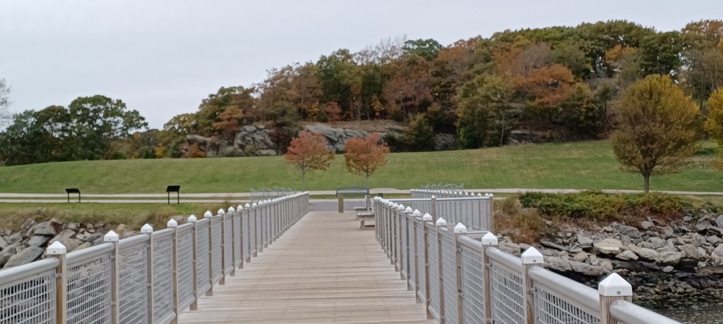
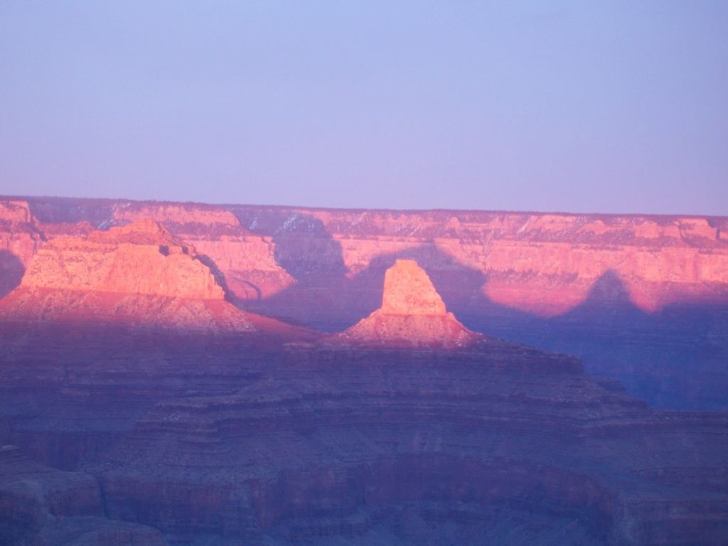
Fall is still with us in New England and we have been anxious to get out before the gray of upcoming winter sets in. We headed out to Noon Hill in Medfield on a blue-sky day, since there is a nice view from Noon Hill (thus the name).
We have spent the past several weeks exploring the SNETT (Southern New England Trunkline Trail) that runs quite near our home. Improvements have just been completed from Center Street in Bellingham, MA west to Rt. 126, near the Blackstone, MA line. What has up to now been one of the more challenging sections of the SNETT, this portion of the trail has limited views, but is key to opening up further sections of the SNETT west of here. Park at the Center Street parking area. Once parked, head west. An additional, Harpin Street entrance is next to DiPietro Elementary School, with parking across the street at the athletic fields. This area was until recently a barrier for those wanting to access other western sections of the trail.
In my growing up years I felt keenly the absence of my grampy, my dad’s father, Glen Kuhl, who had died before I was born. This sense of loss may have been reinforced by my mother, who never stopped mourning the loss of this man who had been as a father to her.
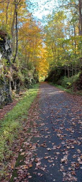
At the start of the foliage season we chose to head out from Eastern MA to the Harlem Valley Rail Trail, just over the Massachusetts line into New York state. This was a section of rail trail we had never explored before and we were eager to get out on our adaptive tandem bicycle before colder temperatures set in. The edges of ponds, and the slopes of the Taconic mountains were in various states of transformation from the green of summer to the flaming oranges, reds, and yellows of autumn.
Glowing foliageRock cut along the trail
Foliage season is so short–only two or three weeks in any one location, depending on whether rain and wind blows away these fragile bits of color that cling to their branches. New England is renowned for its foliage, but other places have spectacular foliage too. New England has the corner on the marketing of fall foliage, but no exclusive contract.
Small streams add extra interest along the way
The trail itself is paved, in great condition, with mountain views on both our left and our right and some lovely stream crossings. We found the grade crossings of the trail to be easy to get across. Where there was more traffic, pedestrian lights provided a clear signal for cars to stop, allowing us to cross safely. Benches along the way offered places to rest when needed. A few remnants of the rail infrastructure on this corridor stood as silent reminders of the past.
Duck weed-covered snapping turtle
It must have been turtle day when we visited. We counted at least five turtles as we traveled along the trail. Most were snappers of various sizes. We let them be, but hoped they would make it to the other side of the trail. On our return trip we spotted none of these reptiles, so presumably they reached the other side without mishap.
Precast slabs carry travelers safely over extensive wetlands that the trail crosses
We were particularly impressed with the work involved taking the trail over large expanses of wetlands. Precast cement slabs made for a wide, solid trail surface while allowing the free flow of the water just below us. The creativity, care, and expense were evident in these sections. We felt so lucky to be able to enjoy the benefits of this investment in outdoor recreation and transportation.
Near the southern end of the trail we passed the Wassaic commuter rail station. The trip to NYC is a daunting three and a half hour commute to Grand Central Station. While traveling to NYC was not on our agenda, the number of cars parked at the station was a reminder of the challenge of obtaining housing for those who cpommute to New York City.
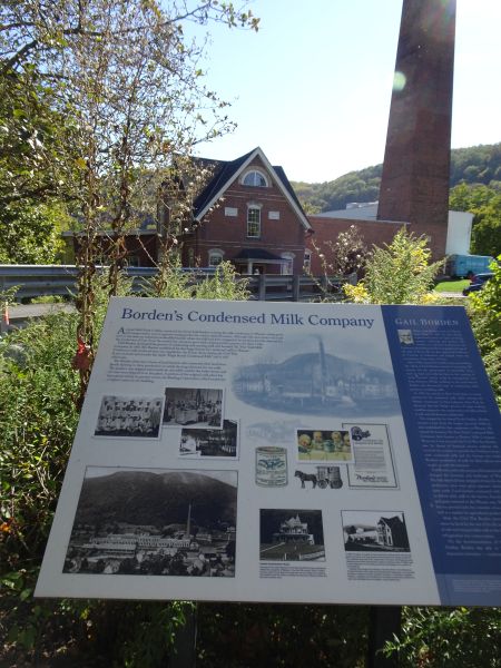
Borden factory building and infoNext to Borden factory
Across the street from the end of the trail in Amenia, New York, we encountered an impressive brick building. There we learned some history of Borden’s condensed milk. It was difficult to imagine what the historical marker described. The greenery, and quiet nature of the area offered few clues to its industrial milk production past. The historic plaque pointed to several buildings still standing and explained their function. I often try to picture the historic landscape and environment of areas we visit, structures such as stone walls or rock foundations. There we got a glimpse of what had been, but mostly we had to use our imaginations.
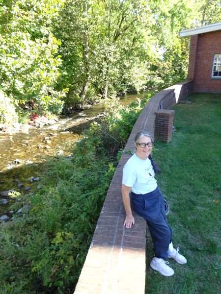
There and back again, still smiling
Our tandem bike carried us a total of forty miles round trip, the longest distance we have logged for a single ride on our biking adventures. More developed trail is north of Under Mountain Road, where we started, but forty miles was what we were up to on this visit. We will have to go back! Happy trails.