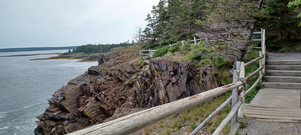
The Bay of Fundy is world famous for its tides. Up to 50 feet in some places. Hopewell Rocks Provincial Park has perhaps the most famous portion of the Bay’s spectacular shoreline to visit, but there are so many other locations where you can witness the tides in this unique area.
War Memorial Park in West Bridgewater, MA looks like a small green space from the road. Well, …it is. Within its four+ acres is a lot to see. The Town River flows through the area, and as with so many rivers, and even streams in New England, the river was used as a power source for multiple industries through the years.
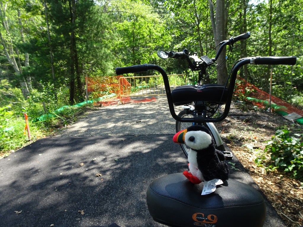
We never know what we will find when visiting a new (to us) rail trail. The Hanover Branch, or Rockland Rail trail, mostly in Rockland, MA, is a work in progress. It is already a community resource, primarily for walkers, since it is relatively short for right now, (3+ miles end to end).
Former swimming hole now a scenic pond at Endean Recreation Area, Norwood
The new trail guide, Easy Walks South of Boston, uses the same template as the other trail guides, with information about Easy Walks (not too many roots or rocks, relatively level with firm footing and something of interest along the way) in towns that are contiguous to each other.
Walkers, bicyclists and other non-motorized travelers can now go from Acton to Concord, MA on the Bruce Freeman Rail Trail. The trail stretches from Lowell, MA in the north to Framingham inthe south. Progress on developing the Sudbury/Framingham sections is ongoing. An impressive bridge connecting the two sections now stretches across Rt. 2 in Acton, near the Concord rotary, and continues south into Concord.
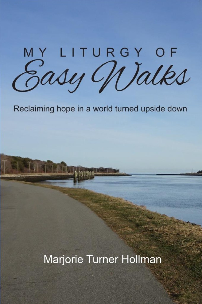
Book cover photo, taken along the north side of the Cape Cod Canal looking east
It had been a while since we visited the Cape Cod Canal bikeway. Easy to get to, no need to cross either canal bridge if you stay on the north side, and so scenic. A place that is easy to access can be taken for granted. However, like other places we may feel tempted to dismiss as “boring,” the canal offers great variety when you look a little closer for what can change between visits.
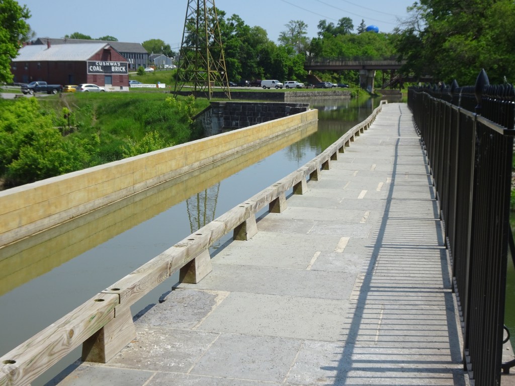
The Chesapeake & Ohio Canal National Historical park (C&O Canal) runs alongside the Potomac River valley from the tidal basin in Washington, D.C. to Western Maryland. What was once the tow path for the canal is now a broad, level footpath that is great for walking or bicycling. The Potomac River is within view for much of the section north of Williamsport, Maryland, where we traveled. The trail surface is in good shape, covered with packed stone dust for most of the section we traveled, with a few muddy spots along the way.
Spring is a great time to get outside, but like the fall, visible signs of spring and the changes that happen in this season are compressed into a few short weeks. Summer and winter last for months on end. If you miss the window of opportunity to catch these quick changes, you will have to wait till next year to witness, and possibly capture in photos the wonders of new life springing forth all around us. At least, this is what I reasoned after realizing I have very few good photos of spring in my files.
We visited the Marginal Way in Ogunquit on an overcast spring weekend. It was given this name because it brings visitors to the “margin” between land and sea.
Warmer days offer a great excuse to get outdoors (as though we need an excuse). Grass is poking up through the soil. Maple trees are setting out buds that trim the woods’ edges with a reddish hue. My spring favorite, skunk cabbage, unfurls its shiny, rubbery looking shoots on the edge of, and sometimes in the middle of woodland streams and wetlands.