
Marjorie Turner Hollman is a writer who loves the outdoors. Link to all Marjorie’s books.
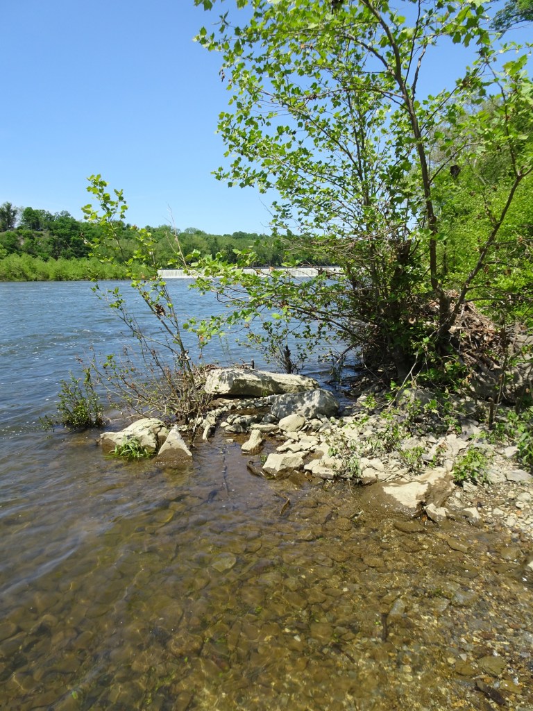
The Chesapeake & Ohio Canal National Historical park (C&O Canal) runs alongside the Potomac River valley from the tidal basin in Washington, D.C. to Western Maryland. What was once the tow path for the canal is now a broad, level footpath that is great for walking or bicycling. The Potomac River is within view for much of the section north of Williamsport, Maryland, where we traveled. The trail surface is in good shape, covered with packed stone dust for most of the section we traveled, with a few muddy spots along the way.


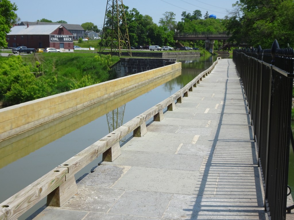
We started in Williamsport, Maryland, across the street from the C&O Canal National Historical Park headquarters. The visitor center is in a building directly adjacent to the canal infrastructure itself and is open seasonally.
We have visited here three times now, the first two times in the rain as a lunch stop on our way elsewhere. This most recent stop was on our way home from visiting grandboys in Tennessee. Third time is a charm, so I’ve heard. The sun came out, the temperature was perfect for me, and the nearly ten miles (almost twenty miles round trip back to Williamsport) we pedaled north from Williamsport offered shade for almost the entire ride.
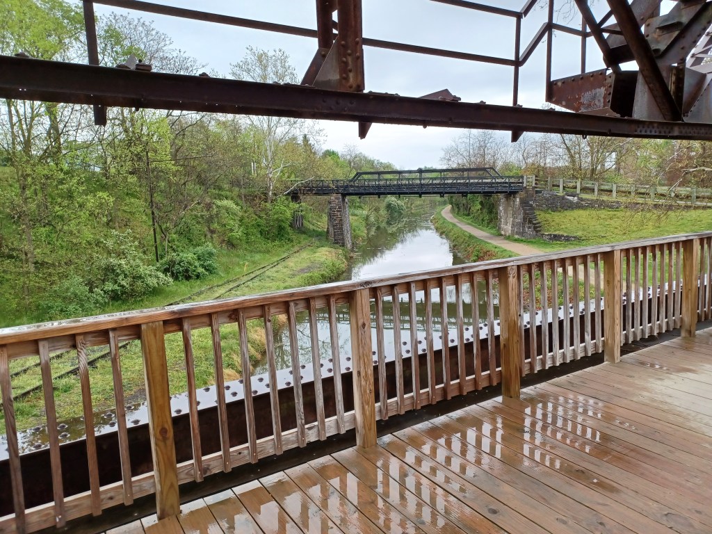
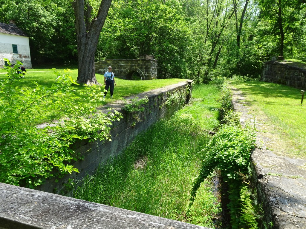
On foot, we were able to climb stairs to a foot bridge that took us over the canal to the tow path. This is a lift bridge, designed to raise and lower the railroad bridge that crossed the canal, accommodating barge traffic.
On our previous stops we did not get out our bike, being content to simply walk (in the rain) a short distance along the tow path.
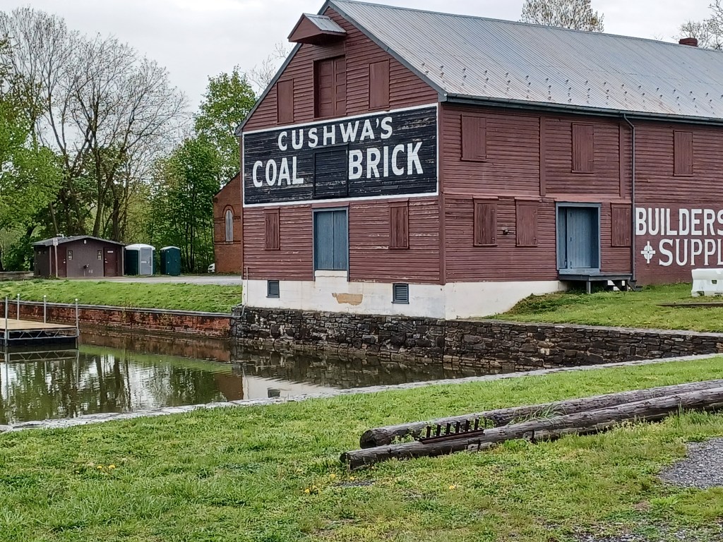
For our bike ride we parked in the same spot, the Cushwa basin.
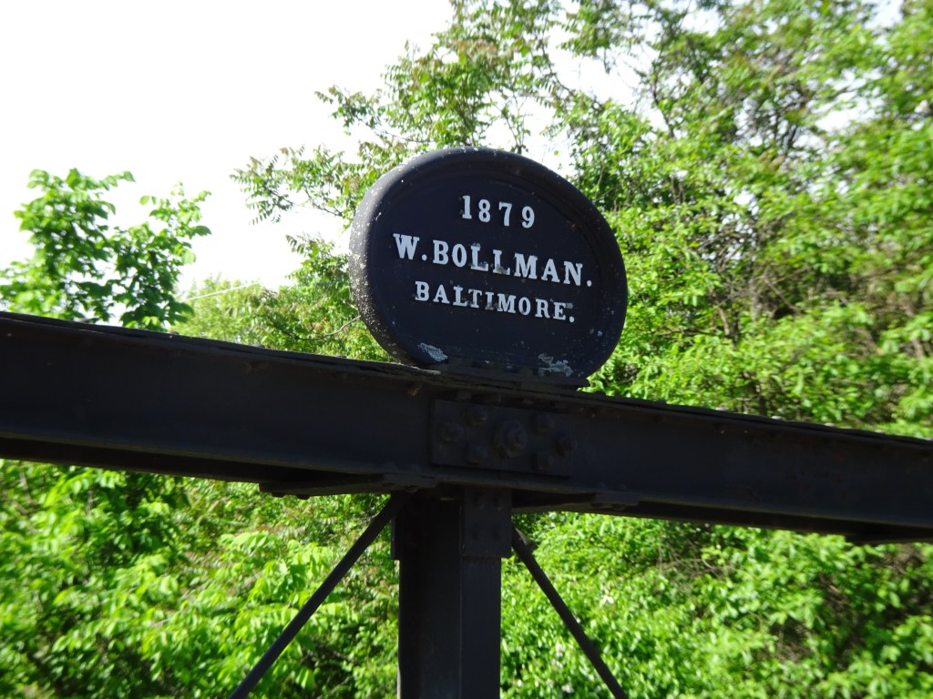
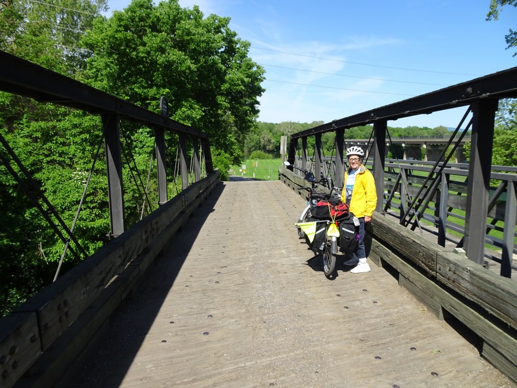
Climbing the stairs to the lift bridge was not an option with our bike, but a helpful ranger at the headquarters building pointed us to a small, one-lane iron bridge over the canal, the Bollman Bridge. Once over that bridge we were able to ride our bike onto the tow path.
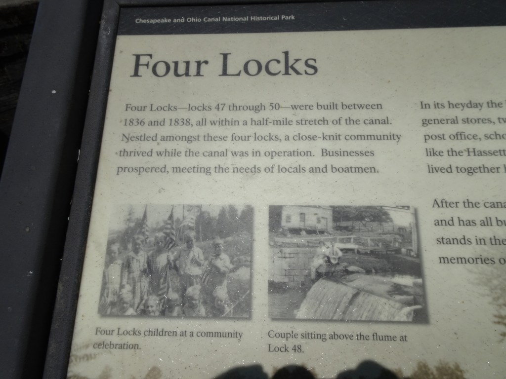
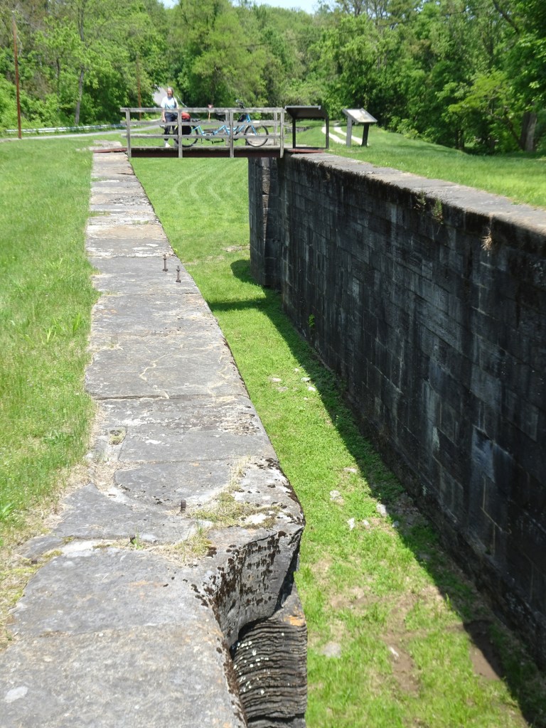
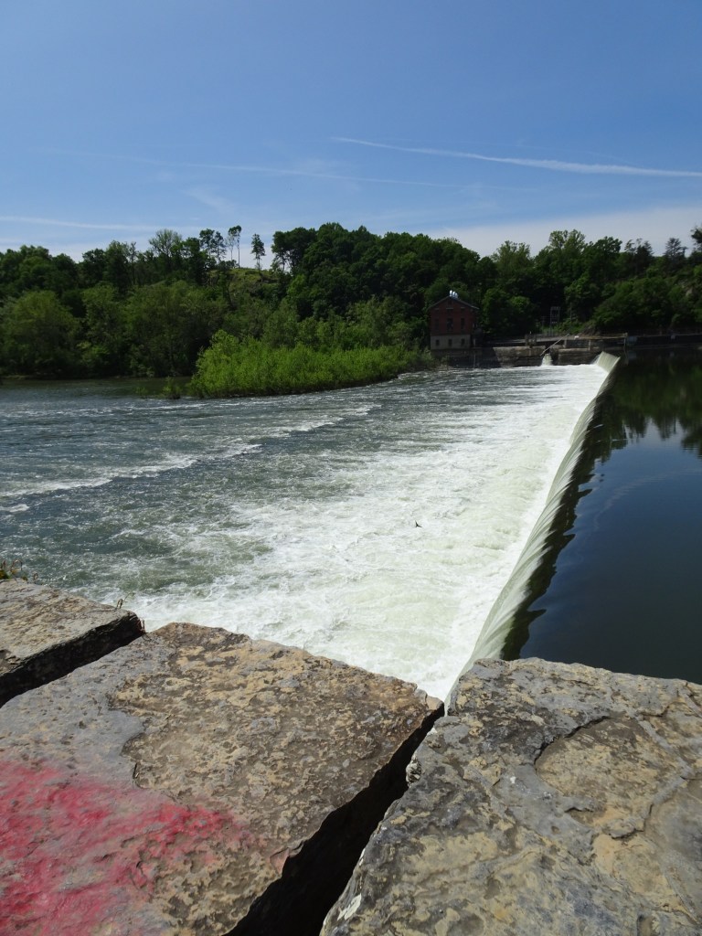
The locks that made transport through the canal possible have been well restored on this section of the 184 mile trail that stretches from Washington D.C to Cumberland, Maryland. Of particular interest to us was the “four locks” section of the trail. An oxbow in the river would have added four miles to the distance boats had to travel if the canal followed the path of the river. The canal builders took a shortcut, cutting four miles off the length of the canal. The shortcut came at a cost, however. It required the building of four locks within about a half mile to compensate for the 32 foot drop in elevation as the canal headed south toward Washington, D.C.
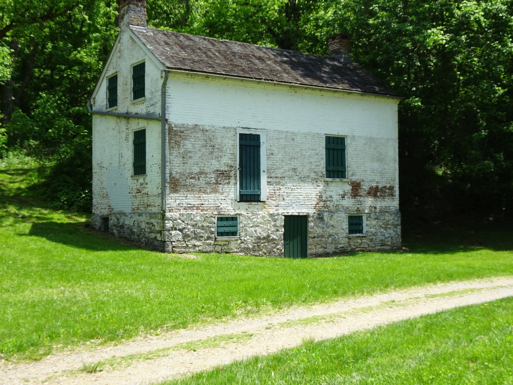
Interpretive signs along the way offer insights to how the structures were used, how people lived and pursued occupations along the river and Civil war history of the area. Maps at intervals help visitors understand the challenges of transporting goods to market in the days before highways, interstates, railroads or even serviceable roads had been built.
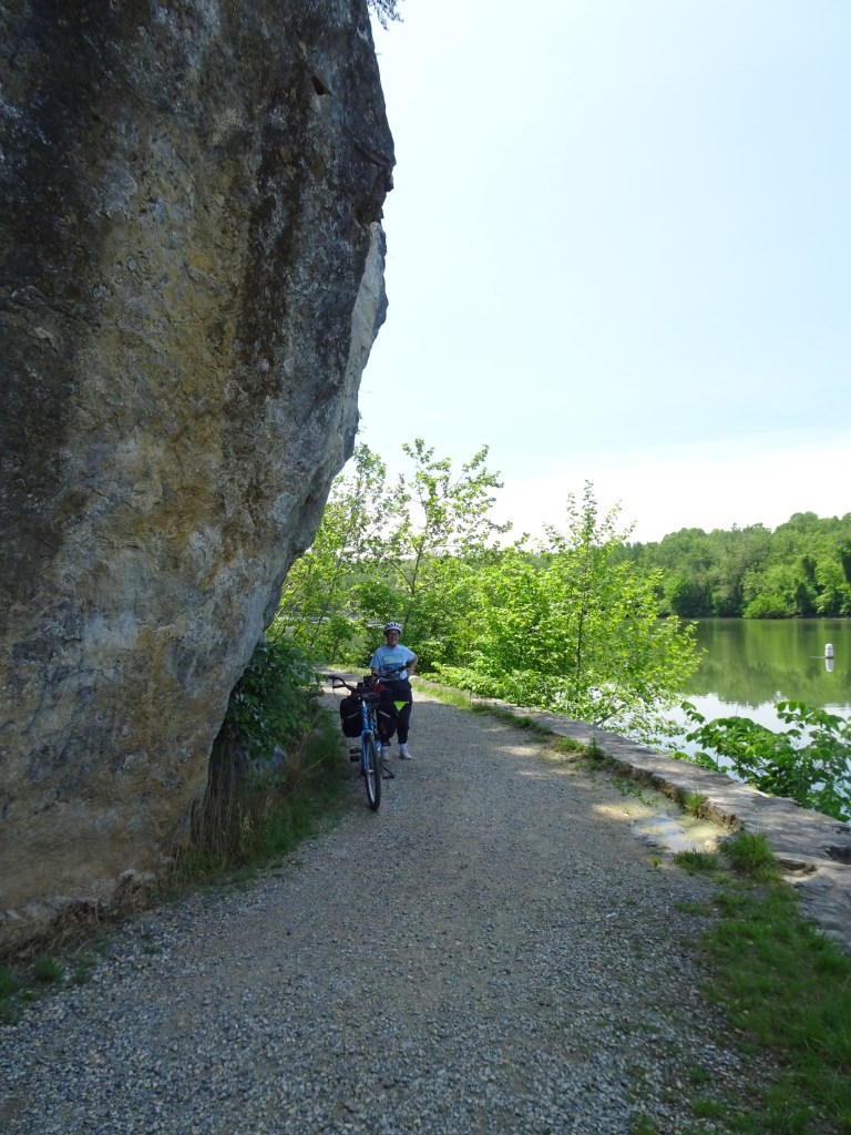
Fifty foot high limestone bluffs towered over the path next to us. At several points on the trail equally tall limestone bluffs line the opposite side of the Potomac. These steep walls of stone brought to mind limestone bluffs we saw on another rail trail we visited in Missouri, along the Katy Trail next to the Missouri River.
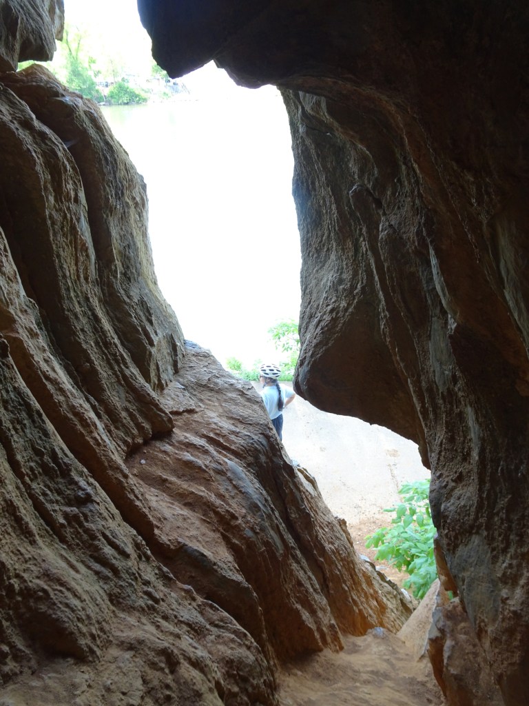
Because the bluffs along the path were limestone, we kept our eye out for openings in the rock—this is part of cave country. To my husband’s delight we spotted several holes in the rock to explore. They were small, but very satisfying for someone who has a passion for caves.
We found benches along the way that offered convenient places to stop and rest awhile. Several port-a-potties were placed strategically along the trail. A symphony of bird songs entertained us as we traveled; orioles, cat birds, robins, and warblers were the primary players in the bird orchestra. I put my Merlin birdcall app to use along the way to confirm the various calls we heard.


Spring wildflowers lined the side of the path we traveled on. Tall old-fashioned flocks seemed to be everywhere.
We met few travelers on a weekday in May, but expect this and other sections of the trail will see increased bike and foot traffic as the weather gets warmer. Connected to the C&O trail is the Great Allegheny passage, another 150 mile off road path which takes travelers west to downtown Pittsburgh.
I am often asked what my favorite trail is, and my answer is usually, “The trail I just visited.” While it’s mostly true, this rail trail is one I wished was closer to our New England home. There is so much more to explore so I hope we will have the opportunity to return and see more of it in the future. Happy trails!
Marjorie

Marjorie Turner Hollman is a writer who loves the outdoors, and is the author of Easy Walks in Massachusetts, 2nd edition, More Easy Walks in Massachusetts, 2nd edition, Easy Walks and Paddles in the Ten Mile River Watershed, Easy Walks South of Boston and Finding Easy Walks Wherever You Are. Her memoir, the backstory of Easy Walks, is My Liturgy of Easy Walks: Reclaiming hope in a world turned upside down.
