
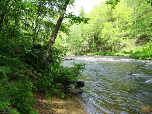
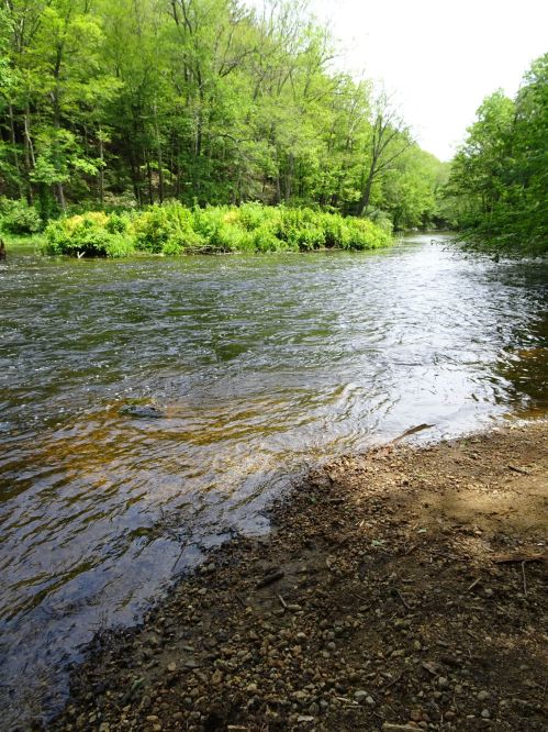
Gentle rapids on the Quineboag river
While I adore getting out on our tandem on any kind of usable railtrail, I have a real soft spot for trails that offer water views.
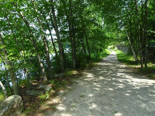
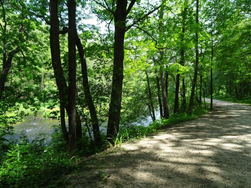
Easy walking or pedaling alongside the Quineboag river, on the Grand Trunk Trail in Sturbridge-Southbridge at the Westville Dam area
When we visited the Westville Dam property, officially in Southbridge, but really on the edge of Southbridge and Sturbridge, MA, we found a short portion of the Titanic Railtrail that travels alongside the Quineboag River.

The western portion of the railtrail, along the Quineboag River. The SNETT, from Franklin to Douglas, is planned to connect to this trail system one day…
We were able to make a loop by traveling on the south side of the river down an Army Corps service road and came out onto River Road, a quiet side road with little traffic. We headed north less than a half mile to a yellow trail gate on the right, which got us onto the north side of the river to loop back onto the Grand Trunk Trail.
Portion of the Grand Trunk trail, still undeveloped
The track from River Road onto the Grand Trunk Railtrail is quite rough, a narrow footpath filled with rocks and poison ivy.
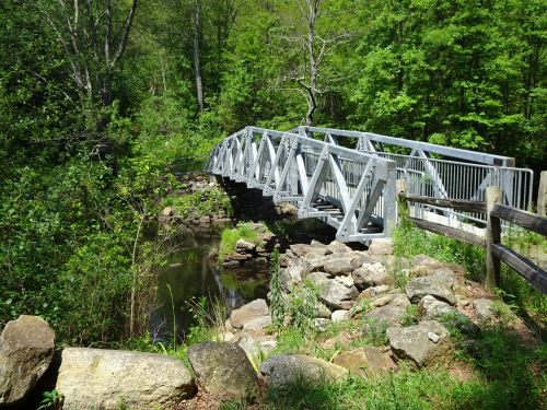
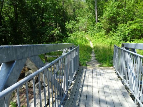
Bridge over the Quineboag, seemingly in the middle of nowhere, at the end of the developed portion of the grand Trunk trail at least for this section.
But there is a bridge, seemingly in the middle of nowhere, that crosses the river and gets you onto a nicely developed section of the Grand trunk railtrail.

Steep drop from the trail down to the river’s edge on the north side of the river
The north side of the river provides views from on high–the steep embankment is daunting to climb down, but offers pretty views of the river.
Smooth trail alongside the south side of the river
The south side of the river is not actually part of the Grand trunk trail, simply a service road, but provides easy access to the river for fishing, picnicing, swimming, or just sitting and watching the river.
This time of year, mid summer, in a year of plenty of rain, the river is pretty high, with lovely rapids in certain sections.
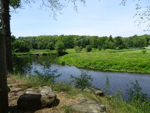
In a calmer section of the river, closer to the dam
Closer to the Westville Dam the water is calm, more inviting for kayakers and canoers.
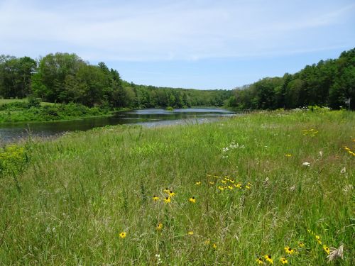
Wonderful views of the river all along the trail
The dam impoundment area itself is in full sun,
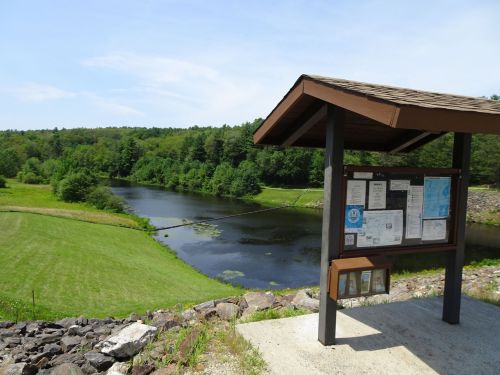
View upstream from the dam area
and offers some nice views of the river and the rock cuts that created the dam.
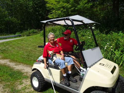
Volunteers in action!
The trails along the river offered plenty of shade, and while there were a number of people in the area, we saw only a handful of people walking the trails while we were there. We met some Army Corps volunteers along the trail, retired folks who camp at the property all summer, in return for patrolling the trails, keeping an eye on things,and being available to help out for whatever is needed. We had no idea of this option for volunteering, but it’s something we will keep in mind for the future. For more information, check out the Army Corps of Engineers’ website about this wonderful spot. http://www.nae.usace.army.mil/Missions/Recreation/Westville-Lake/
A quiet picnic spot alongside the river
Marjorie
Marjorie Turner Hollman is a writer who loves the outdoors, and is the author of Easy Walks in Massachusetts, 2nd edition, More Easy Walks in Massachusetts, 2nd edition, Easy Walks and Paddles in the Ten Mile River Watershed, and Finding Easy Walks Wherever You Are. Her memoir, the backstory of Easy Walks, is My Liturgy of Easy Walks: Reclaiming hope in a world turned upside down.

This looks beautiful! Thanks for sharing!
You’re so welcome. A bit of a trip, but a really pretty spot and worth the travel!
Pingback: Dudley Quinebaug Rail Trail Where the crowds are not | Marjorie Turner Hollman