We headed to Southborough to explore a trail new to us, the Turenne Wildlife Habitat. We hoped to find a quiet spot unnoticed by other weekend visitors. We mostly have time to get out on weekends because of my husband’s work schedule, and crowded trails have been a challenge throughout this pandemic, when the outdoors has become a refuge for many of us.
I first visited the Sudbury Valley Trustees (SVT) Walkup Reservation when I was doing the field work for More Easy Walks in Massachusetts, a field guide I created to over fifty trails in the Upper Charles, Neponset, Assabet, and Sudbury river watersheds. Al Sanborn, who had lived in Westborough, was my guide for two of the sixteen towns I included in the book–Westborough and Grafton, and served as the caretaker for the Walkup Reservation for a number of years.
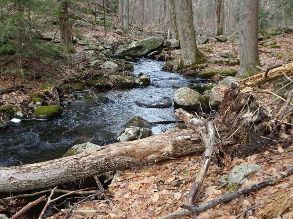
Stream flowing through Forty Caves property, on the way to the Assabet River. Note the wall leading down to the river, which is how we eventually made our way cross to get back where we started
We headed to Berlin/Clinton the first of the New Year, to celebrate #MAfirstweekhikes, and after seeing the crowds of cars at the Francis Street entrance of Forty Caves, in Clinton, we headed over to Berlin to the back side of the property, where we found only two other cars parked at the entrance on Allen Road. This is a Sudbury Valley Trustees (SVT) property, and we recently joined SVT for two reasons: 1) to support their work conserving open space in the Concord, Assabet, and Sudbury watersheds between Boston and Worcester; 2) to obtain a copy of their publication 42 Walks West of Boston, 2nd edition. We plan to visit more of these wonderful properties in the future, and having a physical copy of their guide book is a great tool in helping us find our way to sometimes difficult to locate trails. ( My book, More Easy Walks in Massachusetts, includes several SVT trails, as well as numerous others in the Upper Charles, Neponset, Sudbury, Concord, and Assabet River watersheds).
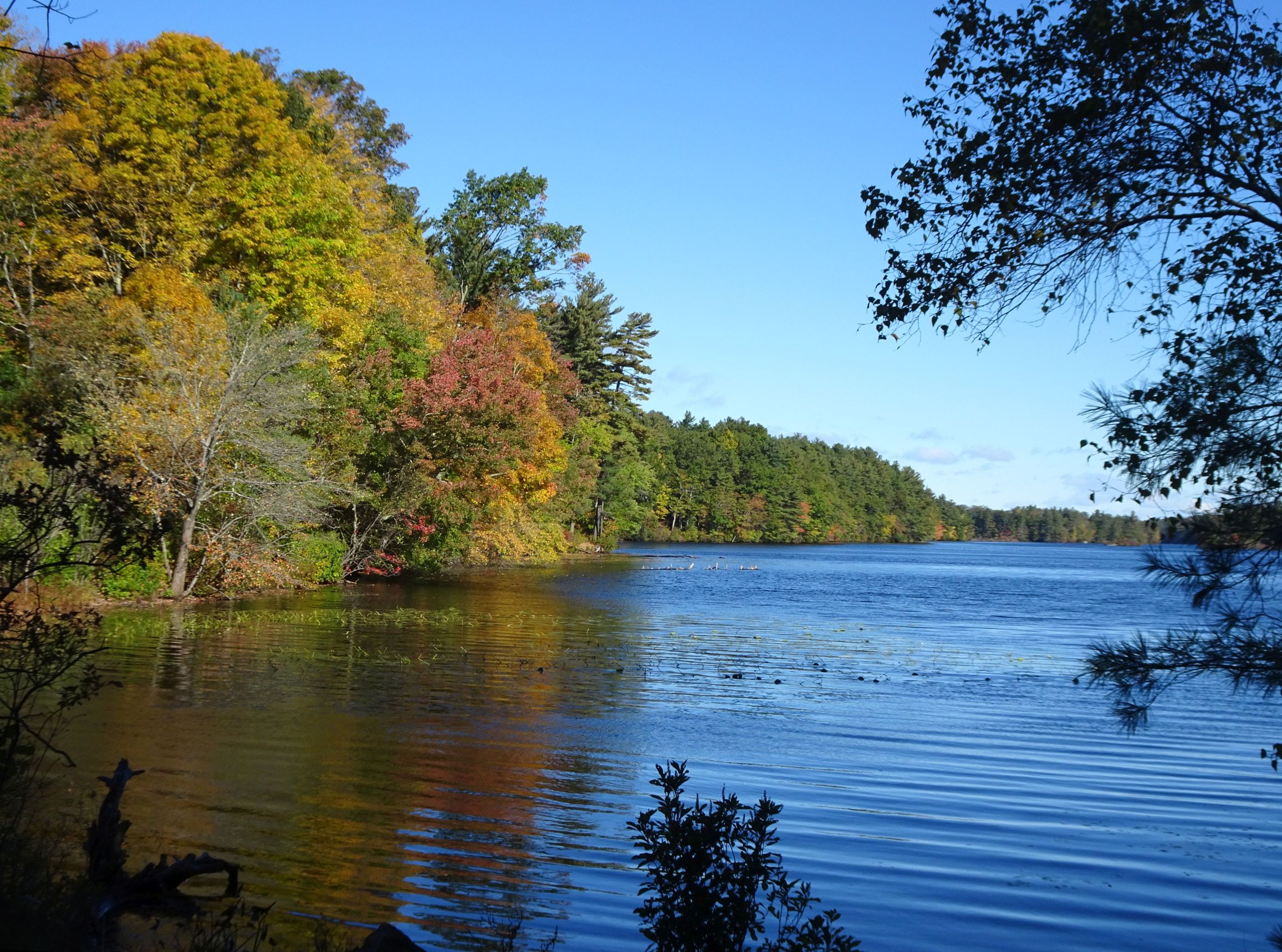
Lake Whitehall is a popular place in the summer, but at the far end from where most people access the lake, is a newly acquired property, Whitehall Woods, that not only connects people with the lake, it also offers a trail that eventually reaches to Upton State Forest. An intriguing trail, it offers an easy walk in the woods with views of some cool rock formations.
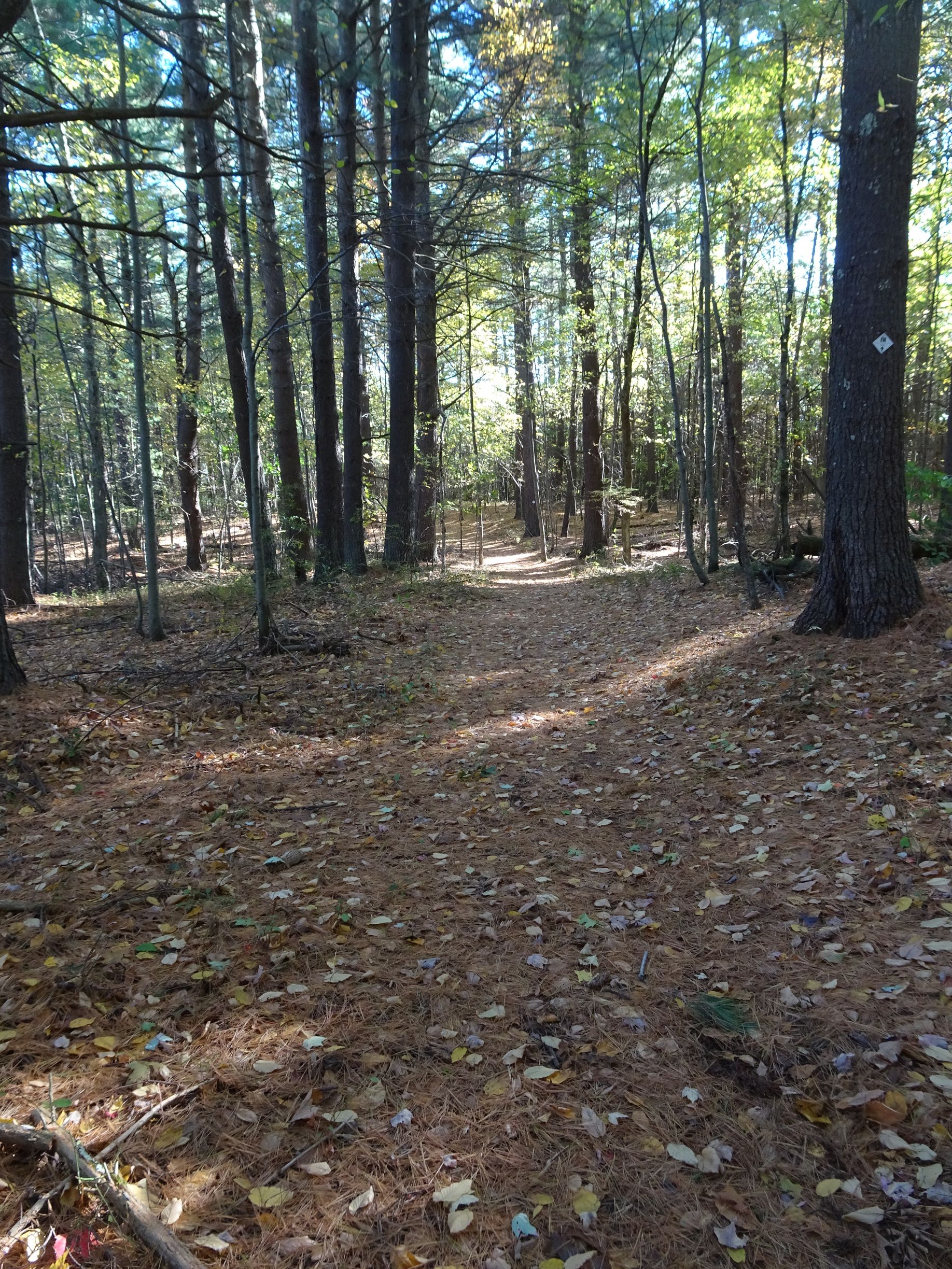
Very easy walking is found along the trails of Whitehall woods
When I visited in early fall, the trail was wide open and offered easy footing. The blazes are pretty clear, and directions toward Upton State Forest are pretty straightforward as well. Thus, you can enjoy a relatively short, easy walk, or you can choose to take an extended trek through the woods to Upton, MA.
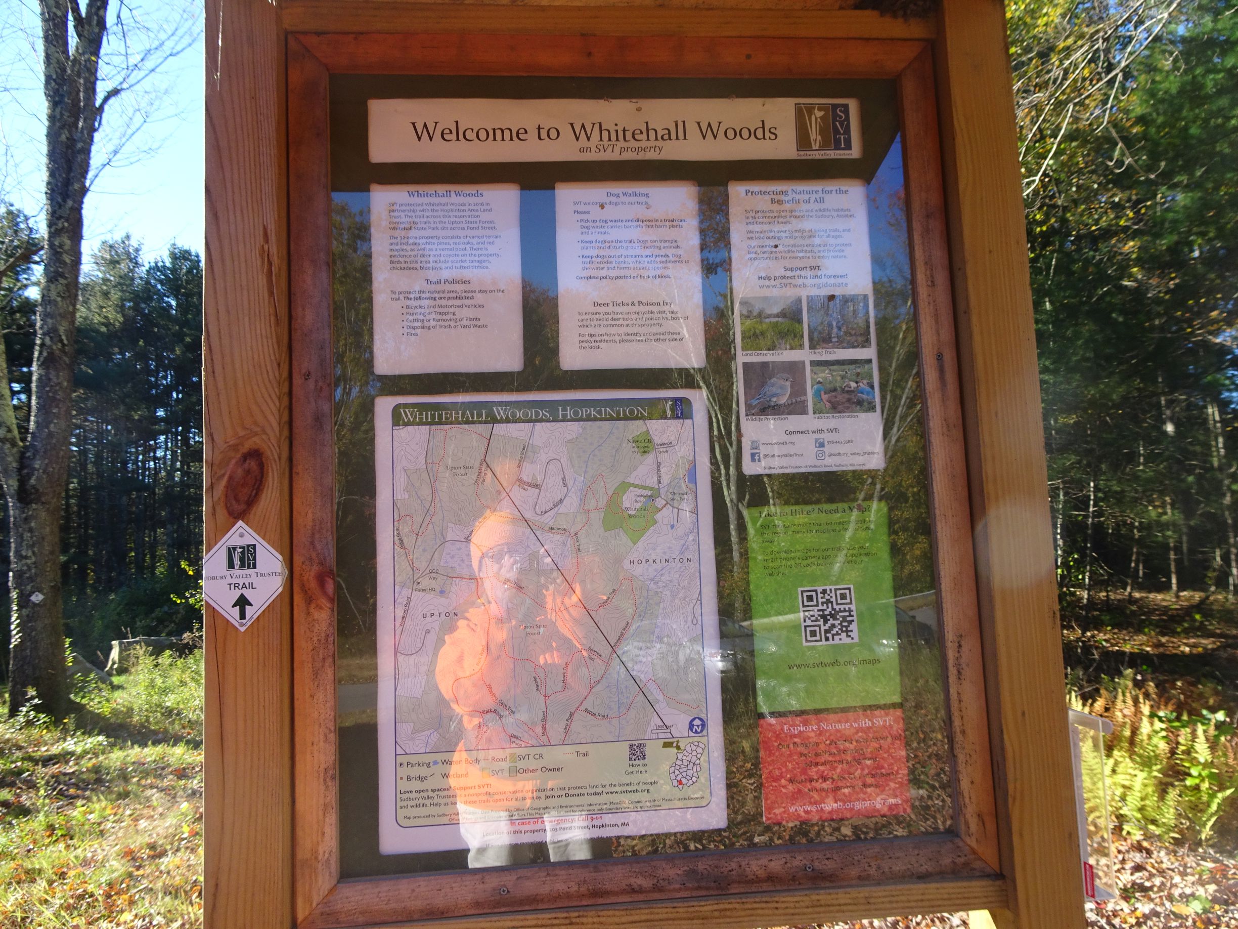
Trail kiosk is easy to spot form the new subdivision’s road that borders the property
Access the property is from 203 Pond Street, reached by turning onto the new subdivision road and looking on the left for the small parking area. The land is protected with a conservation restriction, and combined with other open space, offers 2600 acres of continuous open space.
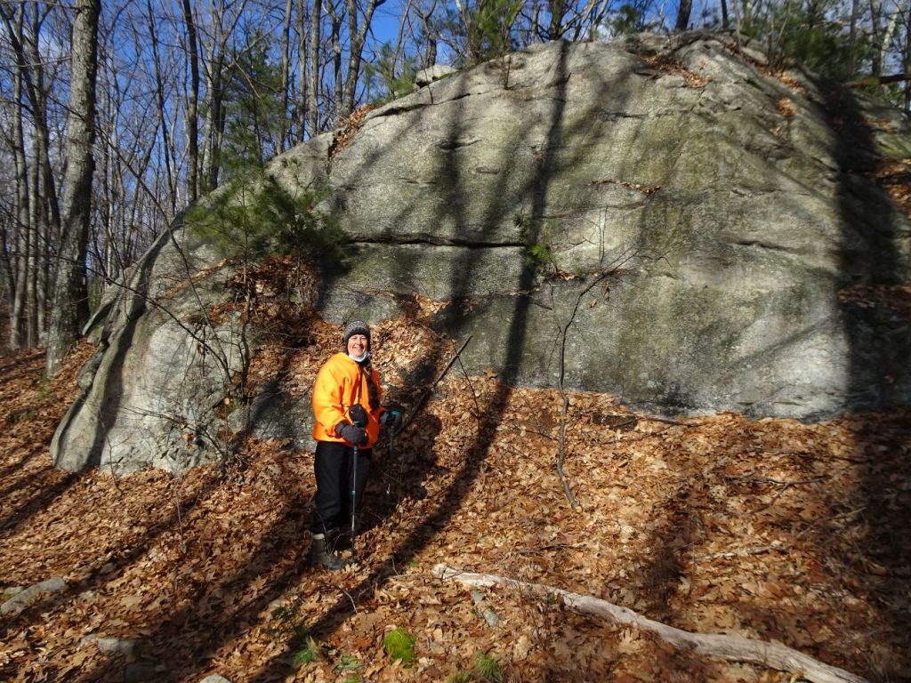
Some cool rocks await for those interested in exploring the landscape
Whitehall Woods offers a quiet place to walk and wander. A different atmosphere from its better known neighbor, Lake Whitehall, this is a place to visit when you are looking for a place to rest and relax.