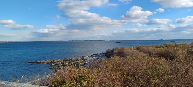
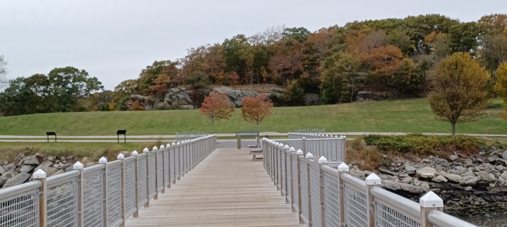
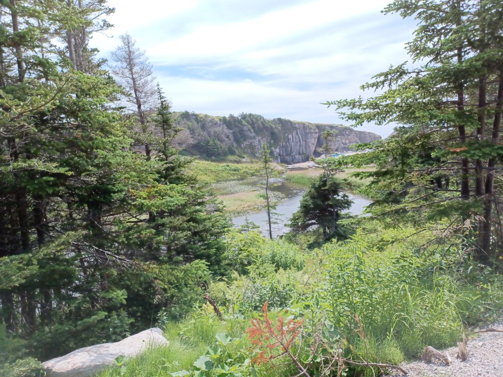
Visits to Sachuest Point National Wildlife Refuge in Newport, RI never disappoint. We enjoy the wide level graveled path that encircles the spit of land jutting out into the surf. Although we have been here countless times, it never gets old.
Rocky Point amusement park was a “go-to” destination for summer visitors in Rhode Island for many years. First arriving by boat, later by trolley and finally by car, people found open fields, a restaurant and carnival type rides, which drew huge crowds through the years.
The nation’s 200th anniversary celebration of 1976 was an occasion when hundreds of thousands arrived at the park for a shore dinner. By the early 1990s the privately-owned park closed and remained that way till 2014 when it reopened as a state park.
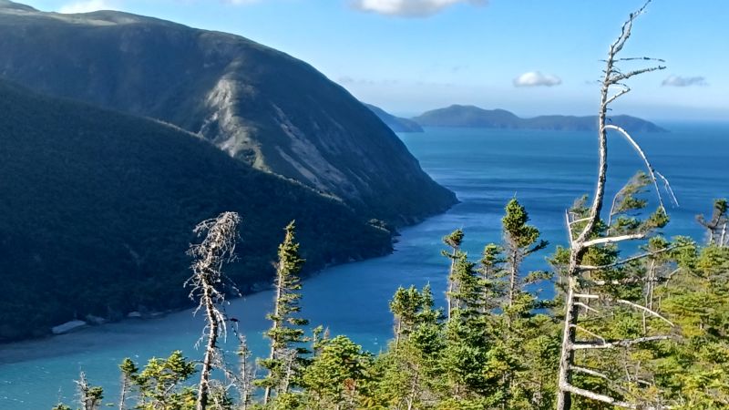
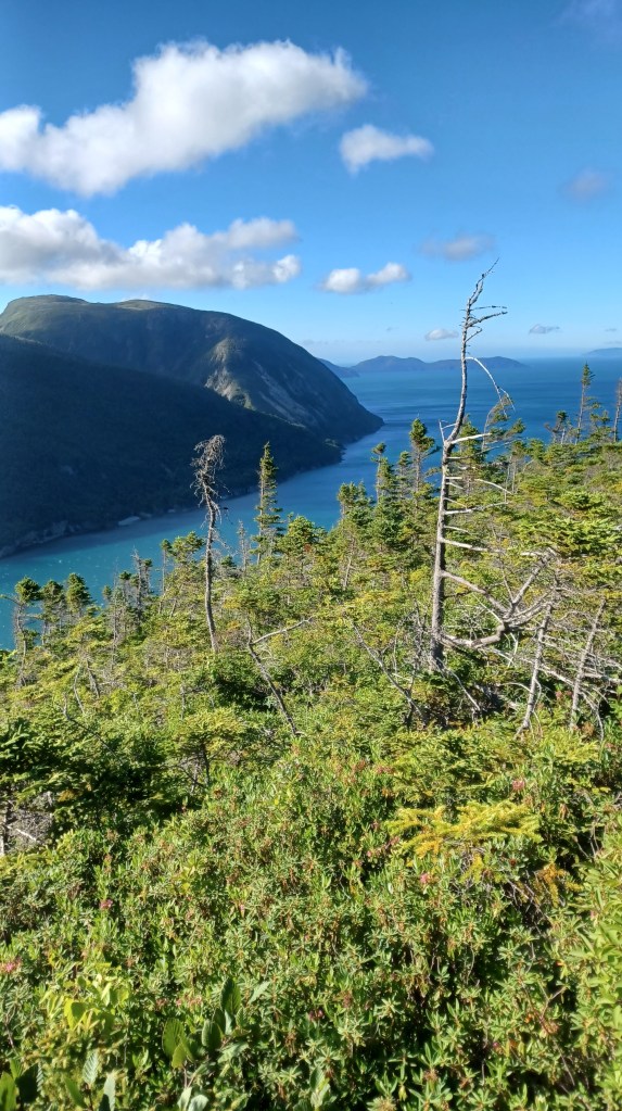
Our trip to Newfoundland had so many highlights, but perhaps our favorite spot, for many reasons, was Blow Me Down Provincial Park, located between between Lark and York Harbor.
Stairs to the top of the mountainView from the top
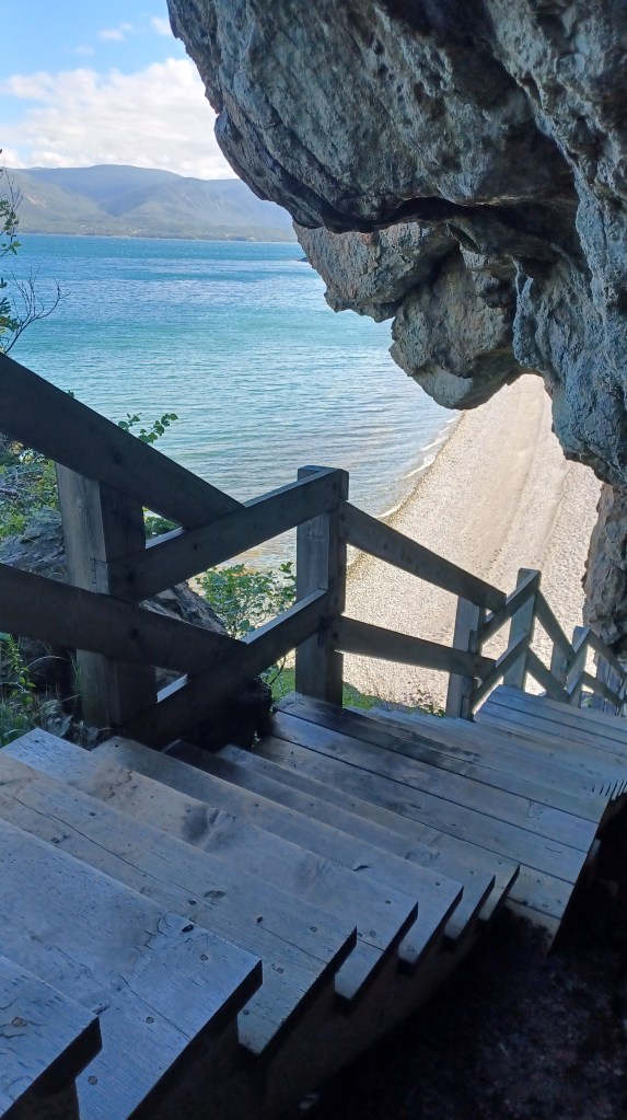
For those more adventurous than me, the park offered a stairway to the top of the mountain that met the shore next to the beach area. Wooden steps follwed the edge of the mountain up to the ridgeline. My husband hurried up to the top on our first evening there, taking advantage of the late sunsets of the Newfoundland summer season. At that point the sun did not set till about 9:15 PM. I enjoyed the photos, and was fine with avoiding the steep climb up to the view.
As we crunch along on the trail through fall leaves that now lie underfoot, we are reminded that winter is not far off. Here’s an excerpt from my memoir, My Liturgy Of Easy Walks: Finding the Sacred in Everyday (and some very strange) places.
Sounds of Silence
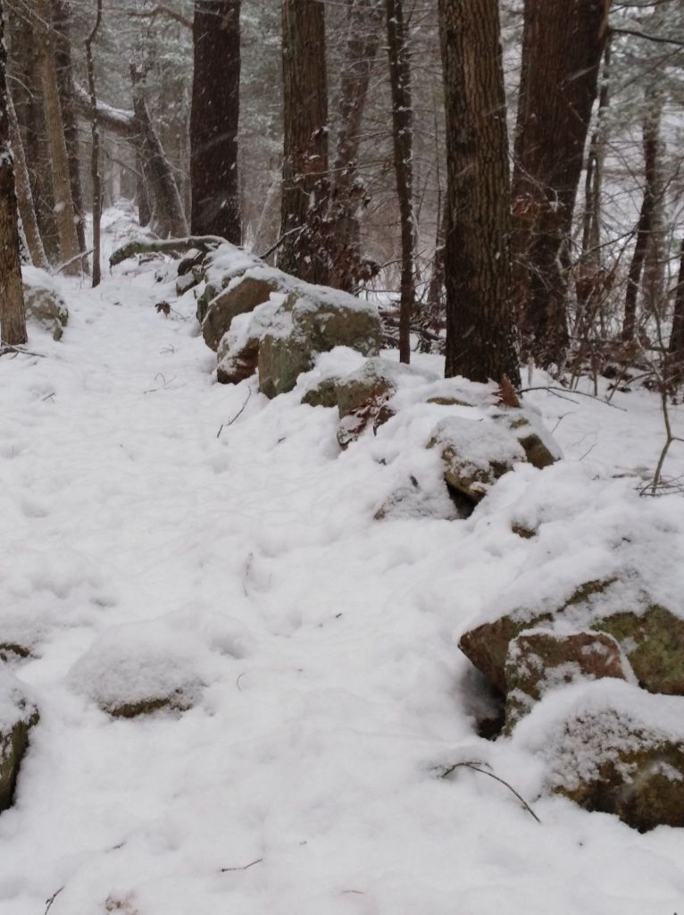
We were tromping through the drifts on a short walk in new fallen snow when I spotted the tracks. Ha! These were our own footprints—we were retracing our steps, headed back home. We had ventured to an old trolley line rail bed that still stands in the woods near our house. The dirt road cuts a straight line through the trees; the path we took did not. Despite the straightness of the trail we still created a wobbly line as we walked.
Fall is still with us in New England and we have been anxious to get out before the gray of upcoming winter sets in. We headed out to Noon Hill in Medfield on a blue-sky day, since there is a nice view from Noon Hill (thus the name).
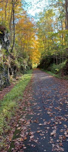
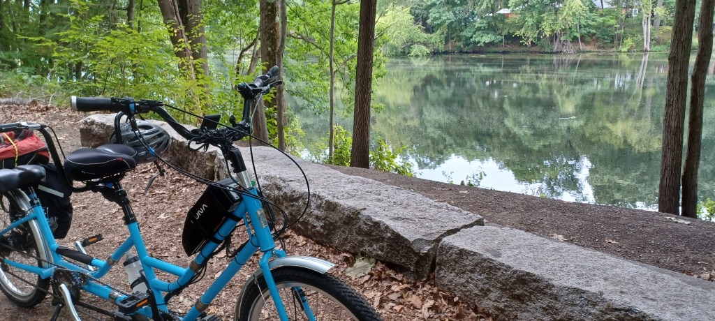
At the start of the foliage season we chose to head out from Eastern MA to the Harlem Valley Rail Trail, just over the Massachusetts line into New York state. This was a section of rail trail we had never explored before and we were eager to get out on our adaptive tandem bicycle before colder temperatures set in. The edges of ponds, and the slopes of the Taconic mountains were in various states of transformation from the green of summer to the flaming oranges, reds, and yellows of autumn.
Glowing foliageRock cut along the trail
Foliage season is so short–only two or three weeks in any one location, depending on whether rain and wind blows away these fragile bits of color that cling to their branches. New England is renowned for its foliage, but other places have spectacular foliage too. New England has the corner on the marketing of fall foliage, but no exclusive contract.
Small streams add extra interest along the way
The trail itself is paved, in great condition, with mountain views on both our left and our right and some lovely stream crossings. We found the grade crossings of the trail to be easy to get across. Where there was more traffic, pedestrian lights provided a clear signal for cars to stop, allowing us to cross safely. Benches along the way offered places to rest when needed. A few remnants of the rail infrastructure on this corridor stood as silent reminders of the past.
Duck weed-covered snapping turtle
It must have been turtle day when we visited. We counted at least five turtles as we traveled along the trail. Most were snappers of various sizes. We let them be, but hoped they would make it to the other side of the trail. On our return trip we spotted none of these reptiles, so presumably they reached the other side without mishap.
Precast slabs carry travelers safely over extensive wetlands that the trail crosses
We were particularly impressed with the work involved taking the trail over large expanses of wetlands. Precast cement slabs made for a wide, solid trail surface while allowing the free flow of the water just below us. The creativity, care, and expense were evident in these sections. We felt so lucky to be able to enjoy the benefits of this investment in outdoor recreation and transportation.
Near the southern end of the trail we passed the Wassaic commuter rail station. The trip to NYC is a daunting three and a half hour commute to Grand Central Station. While traveling to NYC was not on our agenda, the number of cars parked at the station was a reminder of the challenge of obtaining housing for those who cpommute to New York City.
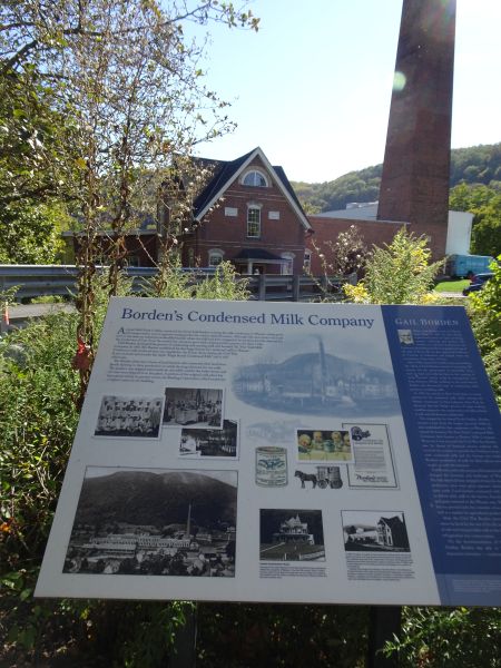
Borden factory building and infoNext to Borden factory
Across the street from the end of the trail in Amenia, New York, we encountered an impressive brick building. There we learned some history of Borden’s condensed milk. It was difficult to imagine what the historical marker described. The greenery, and quiet nature of the area offered few clues to its industrial milk production past. The historic plaque pointed to several buildings still standing and explained their function. I often try to picture the historic landscape and environment of areas we visit, structures such as stone walls or rock foundations. There we got a glimpse of what had been, but mostly we had to use our imaginations.
There and back again, still smiling
Our tandem bike carried us a total of forty miles round trip, the longest distance we have logged for a single ride on our biking adventures. More developed trail is north of Under Mountain Road, where we started, but forty miles was what we were up to on this visit. We will have to go back! Happy trails.
You never know what will happen when you get outdoors. This trip started at Ayer, MA and took us all the way to Nashua, NH on the Nashua River Rail Trail. We brought along our mascot, Stormy, (aka Smoky.) He’s now Stormy, having donated his previous name to our new kitten. Our tandem bike, Shermy, did great after his international travels to Canada, including two ferry rides. And we almost encountered a black bear on the trail. The bear was quick, crossing the path before we could get a photo, but it was definitely a bear.
We started in the southwest of Newfoundland near the ferry landing in Port aux Basques, and after a week moved about two hours north along the Trans Canada highway to the Port au Port area.
Easy Walk to fossil treesFossil tree (black) in stream
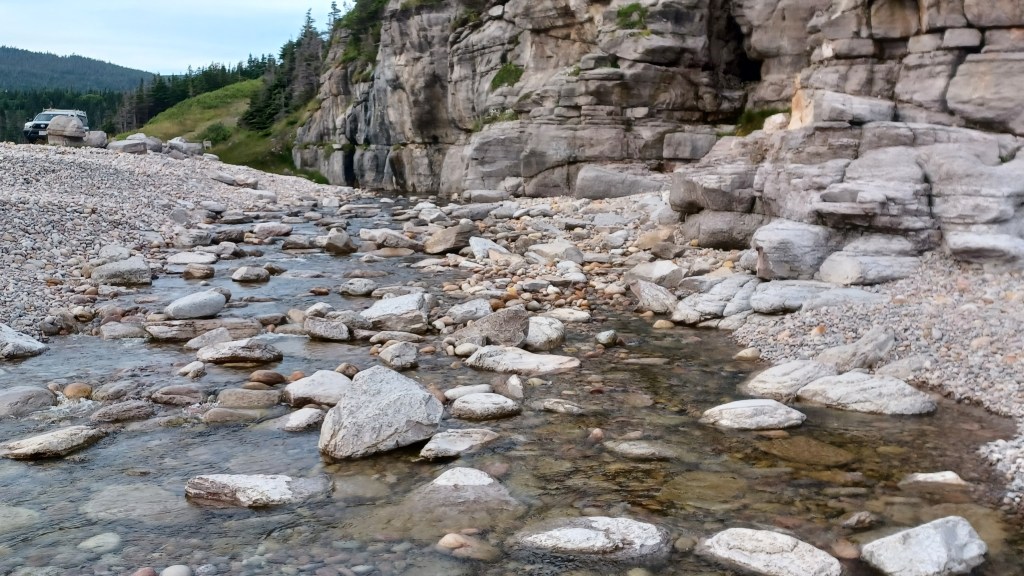
On our way to our next campground we visited the Blanche Brook fossil beds in Stephenville, Newfoundland. The packed dirt path in the sunshine along the brook near a parking area offered solid footing for me. Once we entered the woods the trail continued alongside the water, and for the most part was still an Easy Walk. However, to actually see the fossils, visitors need to get down the banks of the stream and wade into the water.
We had just had some heavy rains, filling the brook and making for very tricky footing. I stayed on shore while my husband rock-hopped out to the small island in the brook where he took his shoes off and waded in for a closer look. He got some great views of the fossils, preserved trees turned to rock. We were the only visitors when we stopped on a July morning. Like many other places while in Newfoundland, we often found these outdoor sites to be surprisingly uncrowded.
Doing my part…
A private campground was our home base for several days while we explored several areas that offered some great Easy Walks. After leaving the fossil beds we moved on to a private campground in Stephenville, our home base for several days while we explored several areas that offered some great Easy Walks. Power and water hookups at provincial campgrounds are limited. Since we needed some power to recharge our camper batteries, rather than stay at another provincial park, we chose to stay a night or two at a campground that had “hookups.”
Both national and provincial parks are great places to visit in Newfoundland. Besides these government sponsored outdoor spaces, we were surprised to discover stunning outdoor places that local communities oversee. Even more surprising is that a number of them that offer Easy Walks in areas that are otherwise very difficult to access. Once we were settled in the campground we headed back out to explore nearby Sheaves Cove.
Hidden fallsView of the marsh from path to the falls
Sheaves Cove offers not just one, but two Easy Walks. The creating an maintaining of these trails has been a labor of love, and I really appreciated the care that went into making these trails accessible for many of us. The first trail we explored took us down to the Hidden Waterfall. Quite obvious once you have driven down the dirt road leading to the parking, this waterfall is not visible from the road unless you know where to look.
Stream near the parking area flows from the waterfall through the marsh into the sea
The water from the falls flows out through a marsh and empties into the sea right next to where we parked. The path down to the falls is a maintenance access type road, quite broad, packed gravel, with a gentle incline that takes you to the bottom of the falls.
Gravel paths lead to coastal viewing platformsCapstan, used to pull boats ashore
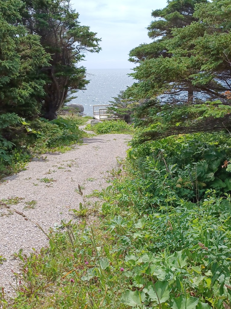
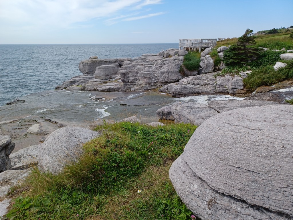
On the opposite side of the parking lot is a trail that invites visitors to stroll along the cliffs overlooking the ocean. This path is quite wide, packed gravel and offers amazing views of limestone formations right along the shoreline.
Limestone mushroom along the cliff
Viewing platforms long the way present opportunities to get even better views of the area than you can see by walking along the top of the cliffs. Some limestone formations reminded me of mushrooms, though certainly not very tasty.
Water cascades down the limestone cliff into the sea
Yet another waterfall in this spot tumbles down the cliff, crossing the trail, cascading directly into the sea from the rocks just above the waterline. A bridge allows visitors easy access to the other side of the water. We spent hours taking in the views, resting at the viewing platforms and looking for whales. No luck with whales on this outing, but we spotted them on other visits during our trip.
Humor on the trail
We found more Easy Walks in the Port au Port area that I will leave for our next post. On our next outing, we encountered a provincial park that offers more Easy Walks, and clearly has a great sense of humor. Till then, happy trails!
Lots of us grew up watching Saturday morning cartoons. But not so many get to really hug Yogi Bear. A series of cimcumstances brought us to Jellystone Park near Natural Bridge, Virginia. We feared the place would be filled with noisy campers, but instead, we arrived early in the season and had the place to ourselves.
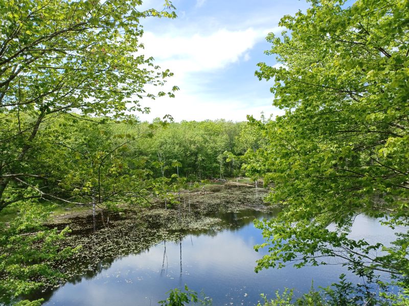
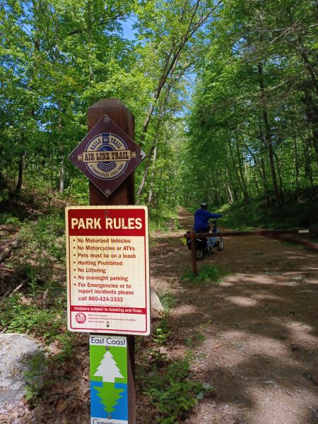
Along the Airline Trail near Hampton, Connecticut. Difficult to see here, but this pond must have been flooded by beavers. Stone walls from the shoreline lead all the way down past the water’s edge
In our travels with our camper, we have found state forests to be a great resource, often providing camp grounds where we had great experiences. Many have trail networks, one state forest we stayed at had a handicapped accessible overlook, and others were simply great spots to stop and enjoy the scenery.
One access point along the Airline Trail
On our way to a rail trail in Connecticut, we stopped by a state forest we spotted along the way and discovered a gem (and access to yet another portion of the same rail trail we had been headed toward). The James L. Goodwin State Forest in Hampton, CT offers multiple options for enjoying the outdoors. The boat ramp allows small craft to enjoy the pond. The Conservation Center, located inside the State Forest, offers education programs. When we looked at Google maps we realized that the Airline Trail passes directly through this same state forest.