Marjorie Turner Hollman helps authors self-publish their nonfiction books. She is also a disability advocate, sharing information about Easy Walks (not too many roots or rocks, relatively level with firm footing, and something of interest along the way) in open space.Learn more.
LISTEN:
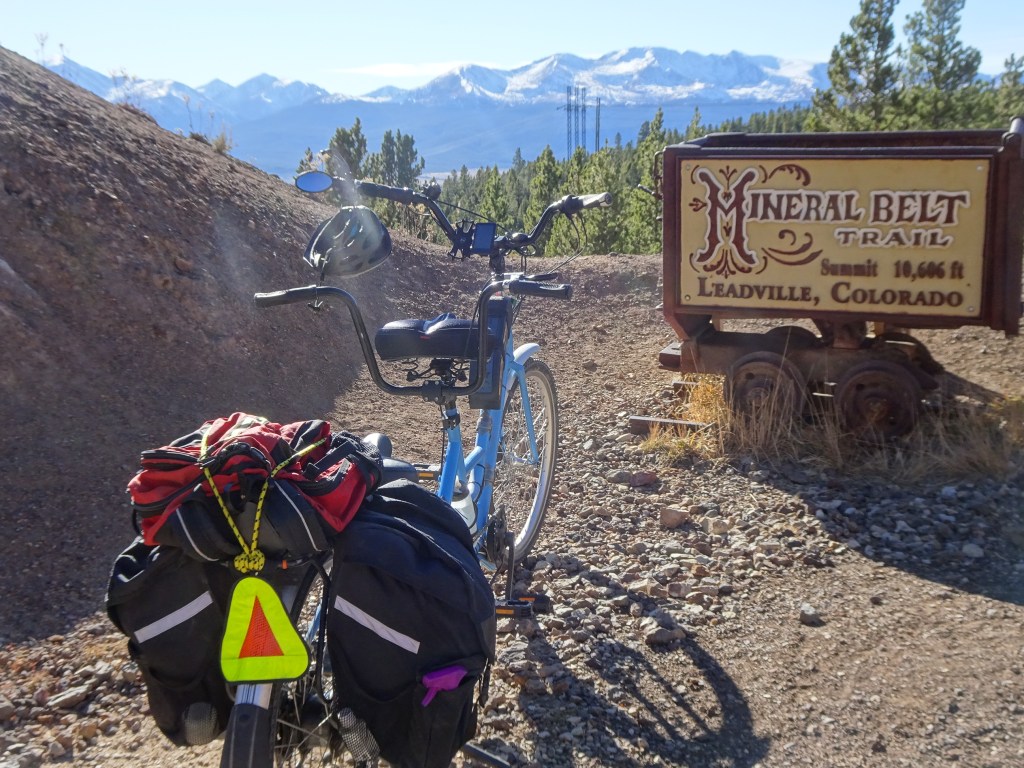
We visited Leadville, Colorado in the fall, when the weather can get very iffy. The town, elevation 10,000+ feet, has a twelve-mile loop trail, which is paved the entire length. The Mineral Belt trail travels around and through the town.
We were wearing t-shifts when we started pedaling our tandem bicycle, but the weather forecast for that night predicted 15 degree F. We did not want to get stuck out on the trail!
Marjorie Turner Hollman helps authors self-publish their nonfiction books. She is also a disability advocate, sharing information about Easy Walks (not too many roots or rocks, relatively level with firm footing, and something of interest along the way) in open space.Learn more.
LISTEN:
Sights along the trailCampground next to trail
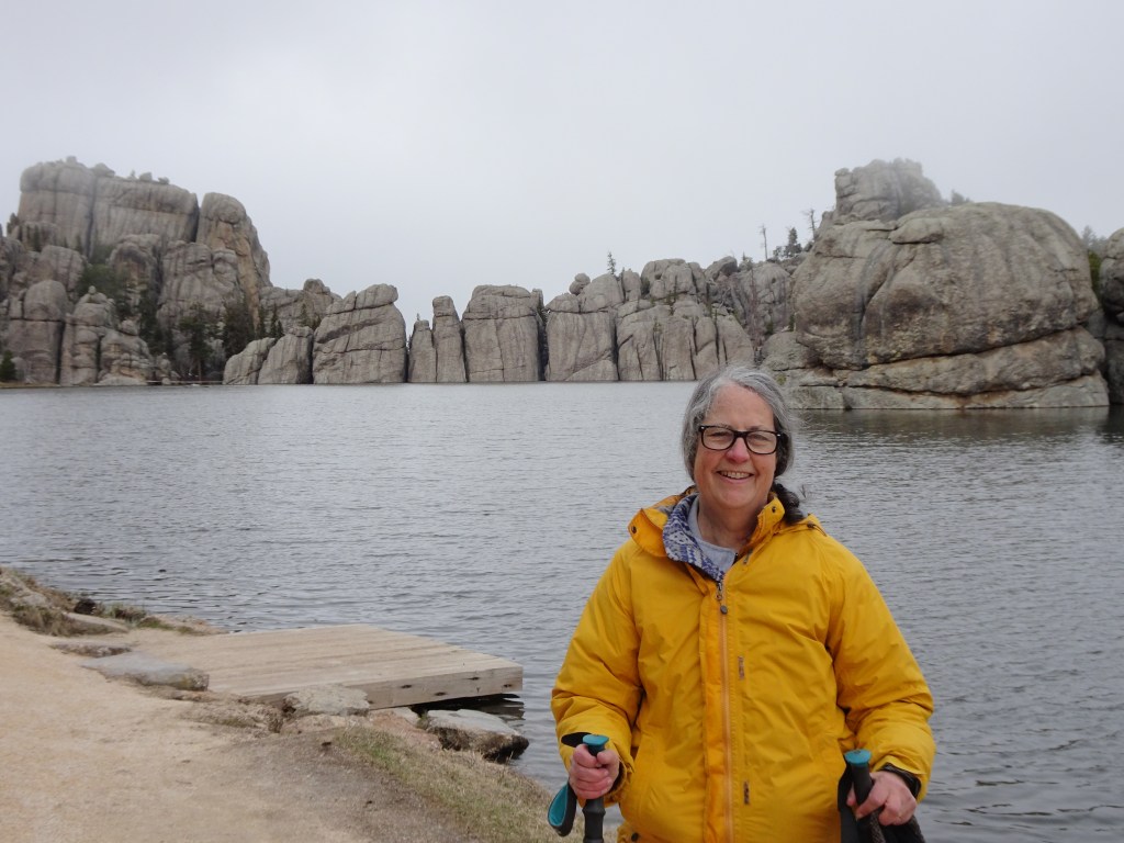
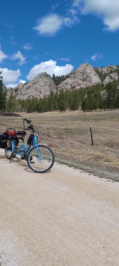
We had hoped to visit Yellowstone National Park and the Grand Tetons on our trip west from New England. Unpredictable spring weather, however, caused us to pause in the Black Hills, hoping the weather farther west would warm up. It didn’t (at least not on our time schedule!).
Marjorie Turner Hollman helps authors self-publish their nonfiction books. She is also a disability advocate, sharing information about Easy Walks (not too many roots or rocks, relatively level with firm footing, and something of interest along the way) in open space.Learn more.
LISTEN:
It began as a simple lunch stop on our way from New England to Tennessee to see grandboys. Just off I-81 in Raphine, Virginia, the sign on the highway said McCormick Farm. We were curious. So we turned off at the exit.
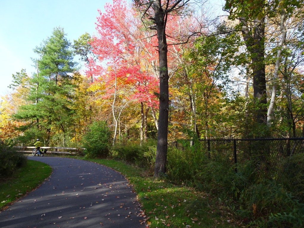
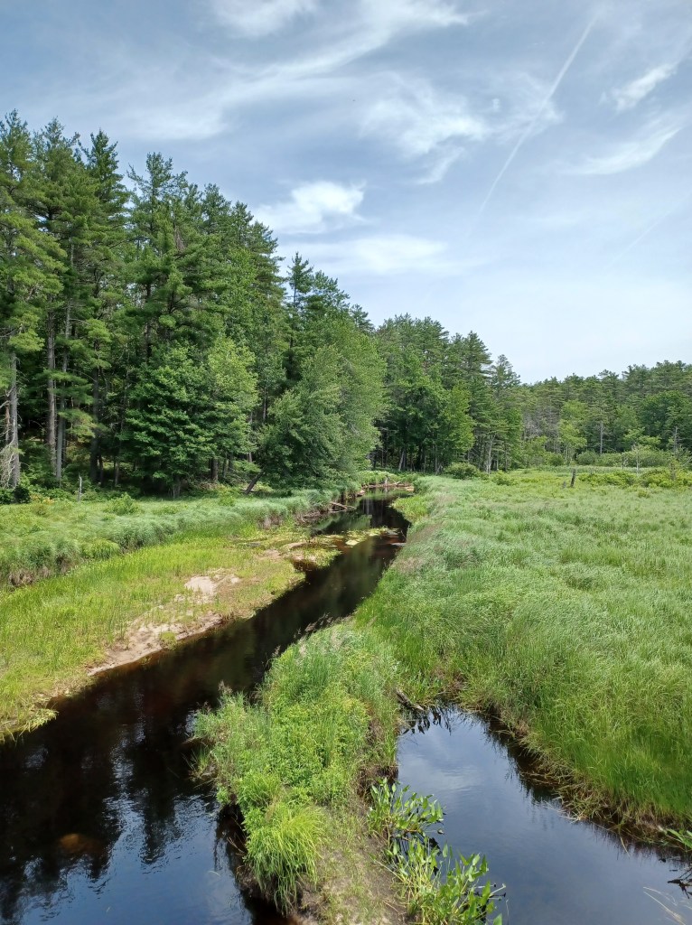
Fall colors along the paved Marsh Trail, Salisbury, MA
Marjorie Turner Hollman helps authors self-publish their nonfiction books. She is also a disability advocate, sharing information about Easy Walks (not too many roots or rocks, relatively level with firm footing, and something of interest along the way) in open space.Learn more.
LISTEN:
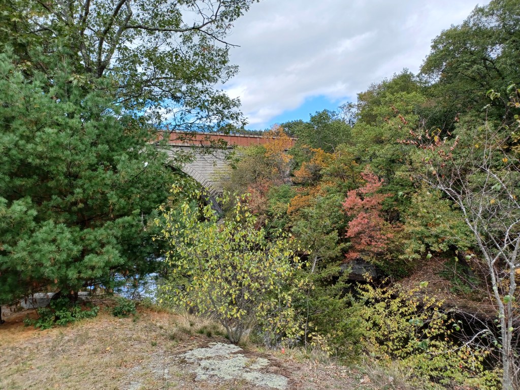
Salisbury, Massachusetts offers a wonderful rail trail network that provides marsh views, woodland paths and an overlook of the Merrimack River. Our visit was on a perfect fall day, with little if any wind. Bright autumn colors glowed in the sunshine. We saw few other people using the trail, which surprised us, since we were there on a weekend.
Marjorie Turner Hollman helps authors self-publish their nonfiction books. She is also a disability advocate, sharing information about Easy Walks (not too many roots or rocks, relatively level with firm footing, and something of interest along the way) in open space.Learn more.
Marjorie Turner Hollman helps authors self-publish their nonfiction books. She is also a disability advocate, sharing information about Easy Walks (not too many roots or rocks, relatively level with firm footing, and something of interest along the way) in open space.Learn more.
LISTEN:
Our calendar to-do list is pretty big this fall. Before we tend to those tasks, and it gets too cold (for us) to bicycle in New England, we decided to take a break. Vermont is a New England state we have spent little time in. This was our chance to explore the Lamoille Valley Rail trail, near Stowe, Vermont.
Marjorie Turner Hollman helps authors self-publish their nonfiction books. She is also a disability advocate, sharing information about Easy Walks (not too many roots or rocks, relatively level with firm footing, and something of interest along the way) in open space.Learn more.
LISTEN:
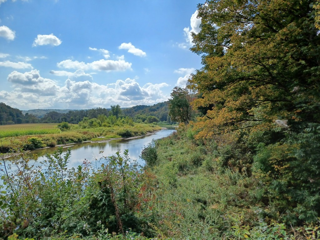
When traveling, we often find lunch spots along the way by looking at the map for what might be nearby. If we see a river, we then search for open space to get a water view to take a break from driving. On our way south from New England to see grandboys in Tennessee, we must cross the Hudson river.
Marjorie Turner Hollman helps authors self-publish their nonfiction books. She is also a disability advocate, sharing information about Easy Walks (not too many roots or rocks, relatively level with firm footing, and something of interest along the way) in open space.Learn more.
LISTEN:
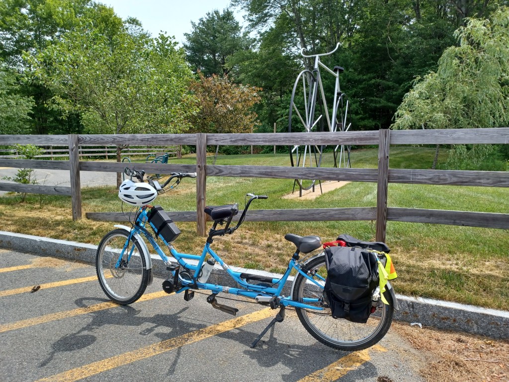
You know it’s summer when you have an errand and immediately think, “Where can we ride our bike near where we’ll be anyway?” The border of Massachusetts and New Hampshire is a pretty good distance from our home, (Rhode Island is a stone’s throw from my house), but we were on a mission, and Pepperell was on our calendar. The day was not too hot (for me) and our adaptive tandem bicycle was ready to roll. And so we did!
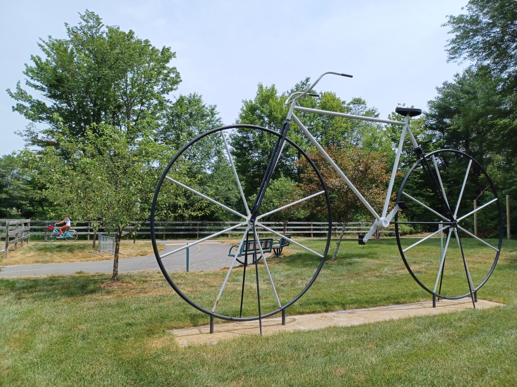
A giant bicycle sculpture next to the trail
The first sight that greeted us as we arrived at the small town park in Winchendon was the giant bicycle next to the parking area. What a friendly invitation for bicyclists to join others enjoying the trail.
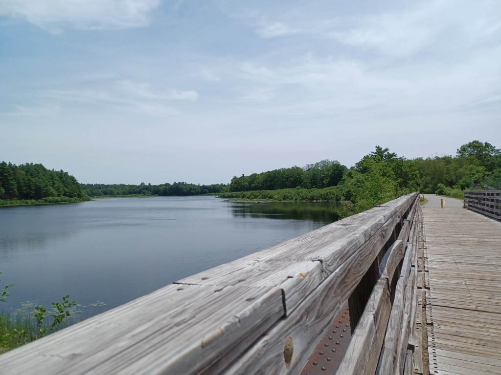
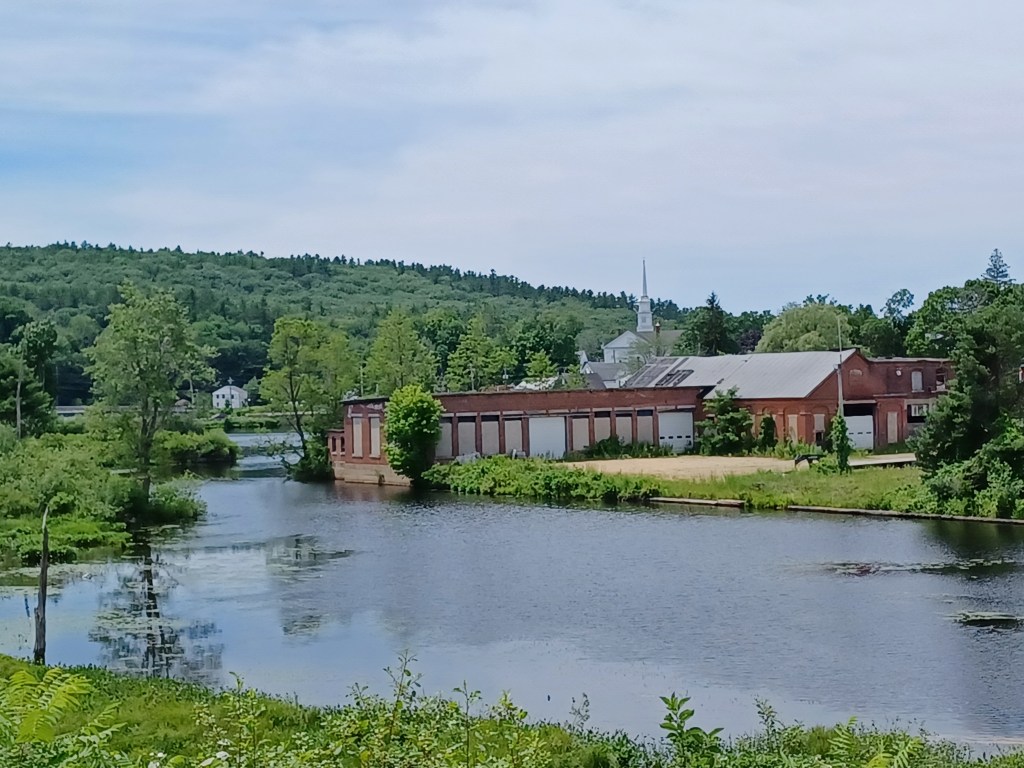
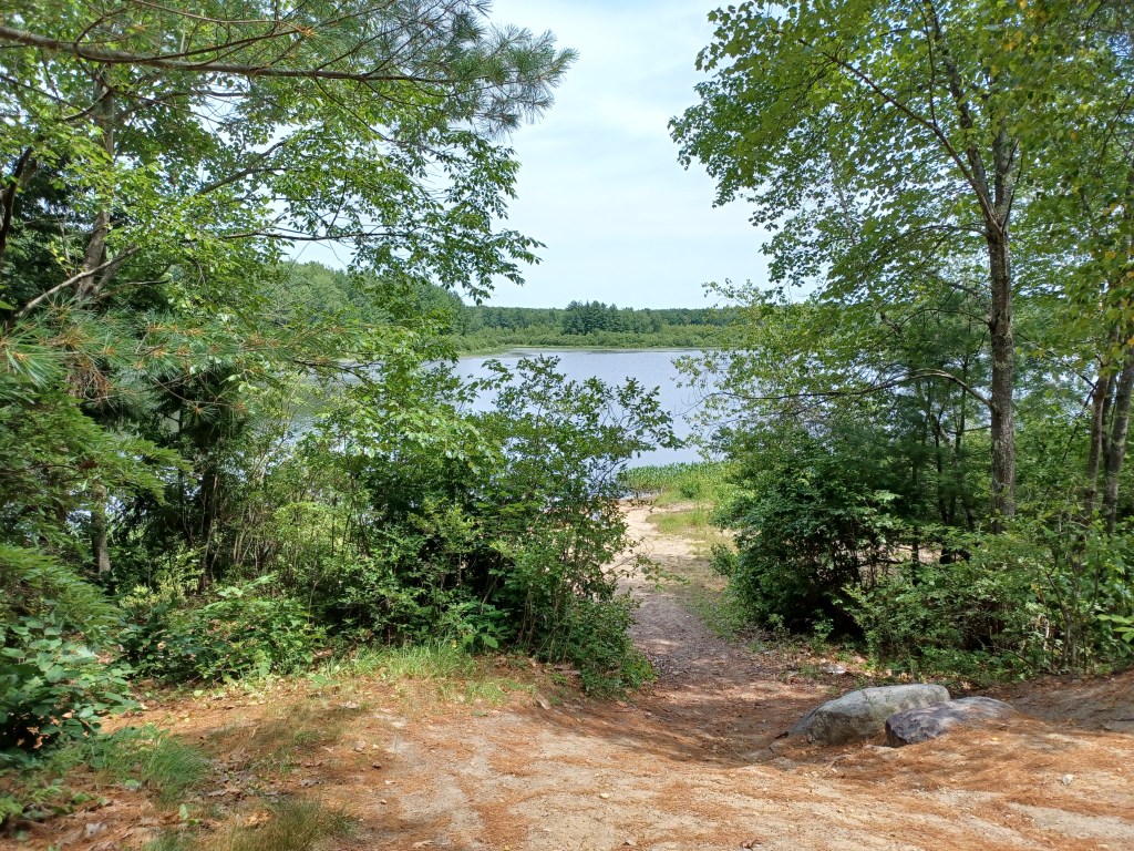
Access to downtown WinchendonWater views along the trail
It had been ten years since we last visited this trail. The water views are the same, but the paved path has been vastly improved. For a holiday weekend, the North Central Parkway was not crowded. Several families with children passed us along the six miles or so we pedaled on the paved path. A few others on wheels passed us, including a child riding her small tricycle. Slowing down and being willing to stop when little ones stray over the line is part of the territory. Offering a smile to parents who are getting their kids out makes life better for all of us.
It takes practice to understand how to navigate rail trails that are shared by walkers, bicyclists, and dog walkers. Staying to one side or the other can be confusing. Chatting with friends can distract us from looking out for others on the trail. And some who (likely) walk ever day appear to use headphones to keep them entertained.
Safety tip—doing anything that compromises your ability to hear while on a rail trail is dangerous. You will not be able to hear when people pass by you from behind. Perhaps more concerning, if someone might wish you harm, you could be caught unawares. Be selfish—take care of yourself and others by using all your senses!
OK, end of public service announcement.
I so enjoyed the multiple spots along this trail with water views. Small streams cross underneath the path. Wetlands with little pools of water are right off the trail. Reminders remain of important infrastructure trains used along this right of way in days gone by. Look for old bridge abutments next to or underneath where new bridges now allow us to cross streams along the way.
Old mill buidlingsAccess to the pond
Some mill buildings remain next to Whitney Pond, from a time when Winchendon was one of many New England towns with local industry that used water power to run their machinery. A bridge spanning a portion of the pond allows for access from the downtown to the rest of the trail.
We found multiple benches along the way, many with nice water views. We stopped at one spot for a snack. The chocolate in our trail mix had not melted, thanks to the ice I carry to help keep me cool. Once I got the nuts and chocolate in my hand, however, I was reminded why the company that makes M&Ms claims, “melts in your mouth, not in your hands.” My hands would have been less messy if our trail mix had had M&Ms as one of the ingredients. Live and learn? Maybe.
Small tunnel along the wayTrail access
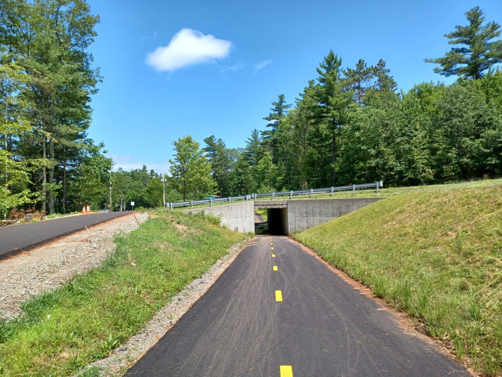
We returned the next weekend to check out the Gardner section of the North-central pathway. We parked on Commercial Drive, in Gardner, just off Rt. 140. The paved rail trail goes right underneath the road and continues both directions. Additional parking is available just off Old Gardner Road, right off Rt. 140.
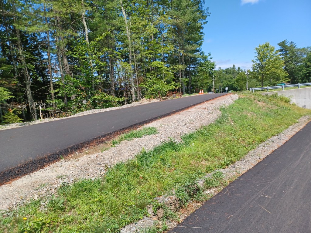
The old Gardner Road parking marks the northern end of the developed section of the Gardner trail. By continuing past the parking on Old Gardner Road, you will soon intersect with Spring St., Rt. 12. Just a short distance southeast on Rt. 12 is North Ashburnham Rd. Turn left and travel a quarter mile to the Winchendon portion of the trail. Riding on Old Gardner, Rt. 12 and North Ashburnham Road allows you to avoid the undeveloped portion of the trail between Gardner and Winchendon. That unimproved section is damp, with lots of roots, some rather large rocks, and has evidence of ATV usage. We pedaled along it for a short distance till we encountered a tree trunk too large for us to remove.
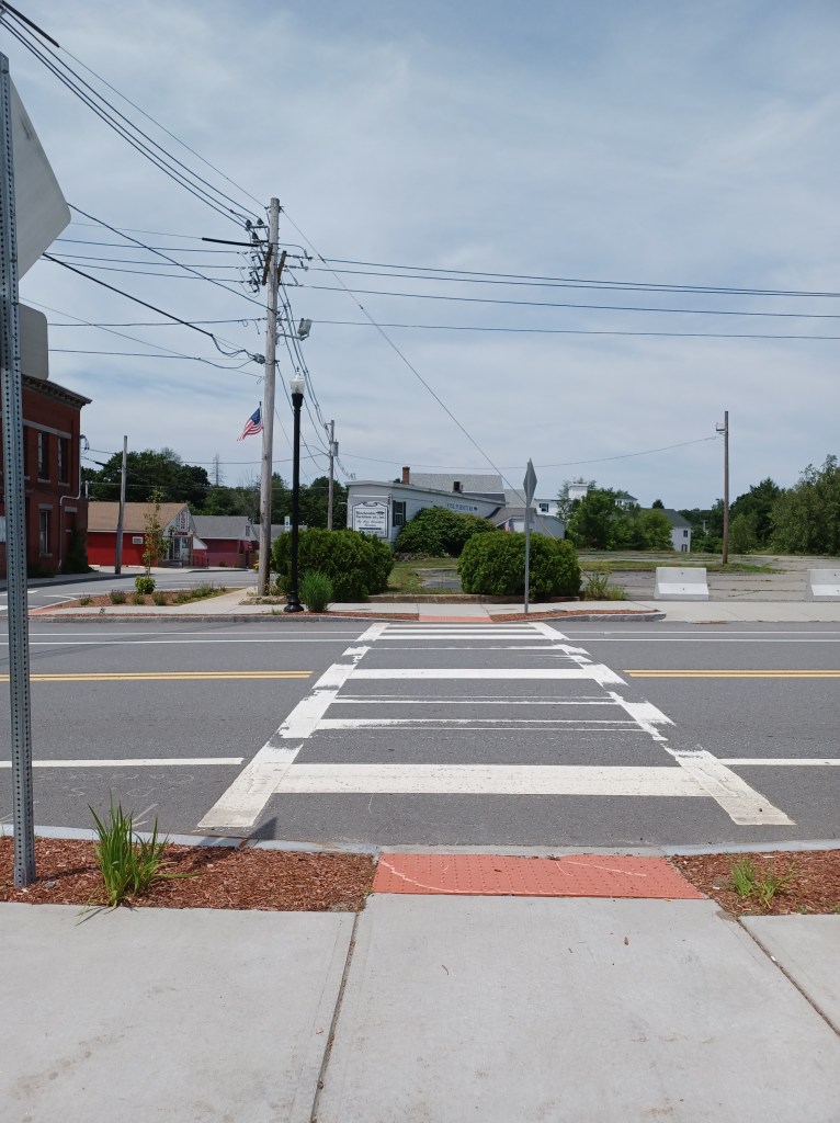
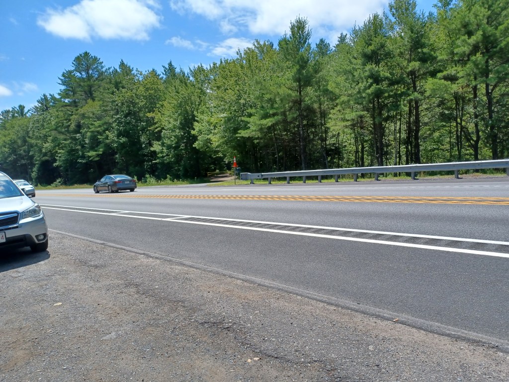
We headed back south on the Gardner section, crossing several pretty streams along the way. When the trail intersected with Rt. 140, we could see that it continued beyond the highway. There is no cross walk nor signals to warn traffic of potential travelers crossing the road. The speed of oncoming traffic from both directions persuaded us to turn around.
Rt. 140 is a formidable barrier between two sections of the Gardner part of trail
While some of the trail hugs busy Rt. 140 (and thus is pretty noisy), much of what we rode on during our second visit offered quiet, and water views. Other than at mid-day, much of this trail, both in Winchendon and Gardner, has welcome shade in the summer. Summer bike rides provide plenty to love, but I for one am looking forward to foliage season and cooler weather. Till next time, happy trails!
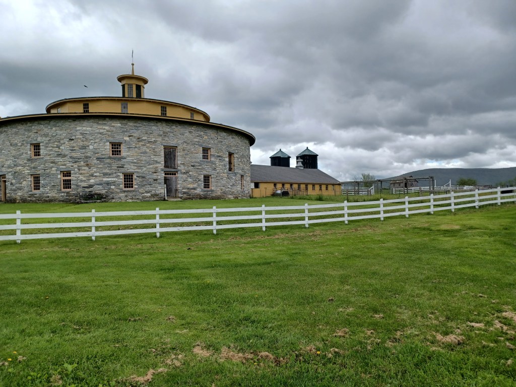
Round stone barn at Hancock Shaker Village. Storm clouds threatened but did not dampen our enjoyment of our visit
LISTEN:
Marjorie Turner Hollman helps authors self-publish their nonfiction books. She is also a disability advocate, sharing information about Easy Walks (not too many roots or rocks, relatively level with firm footing, and something of interest along the way) in open space.Learn more.
An on again, off again rainy day shifted our plans. Instead of enjoying a bicycle ride on the Ashuwillticook rail trail in western Massachusetts, we took a walk (between brief downpours and some showers) at Hancock Shaker Village in Pittsfield, Massachusetts.
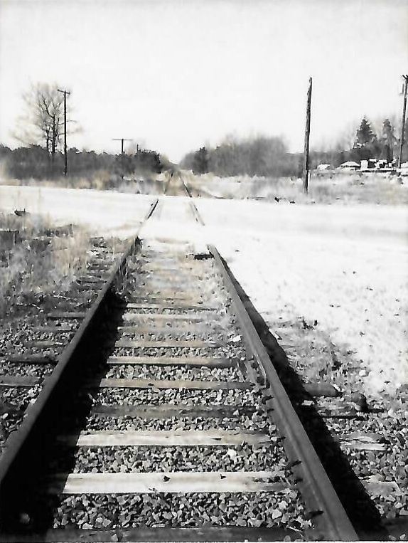
Grade crossing at Center St. Bellingham, then… Photo courtesy Bellingham Historical Commission (BHC)
And now…. SNETT, Center Street and Fox Run Road, Bellingham, MA
LISTEN HERE:
Marjorie Turner Hollman helps authors self-publish their books. She is also a disability advocate, sharing information about Easy Walks (not too many roots or rocks, relatively level with firm footing, and something of interest along the way) in open space.Learn more.
The Southern New England Trunkline Trail (SNETT) consists of the rail bed of what was originally called the Norfolk County Railroad, now turned into a rail trail. During its years of operation the railroad changed hands multiple times and had various names. By the early 1900s the railroad was referred to as The Milk Train, since it provided a vital milk delivery service for farmers outside Boston and milk distributors in the city.