

Marjorie Turner Hollman is a writer who loves the outdoors. Link to all Marjorie’s books.
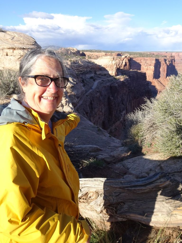
Traveling out west in the fall is a balancing act when you have a camper. The scenery is even more stunning than at other times of the year, and the risk of freezing weather is increased. Freezing means no running water (I know–a modern luxury of camping in a camper with wheels.) We had been in Colorado and weather reports promised freezing temperatures, yet a few hours west of us in Moab, Utah, the weather was warmer. Thus, an unplanned, but welcome diversion west to Arches National Park was our next stop on our western tour.

We spent the day driving toward Moab in the rain, with rain being another unexpected sight in this desert area. But since we were mostly driving, not hiking or trying to bike, it was not a hardship. We arrived in Moab, found a campground to leave our camper in, and headed over to Arches National Park, only a mile or two from the campground where we stayed for several days. Arches is quite well-known, and literature suggested it is often very crowded. Perhaps going in the rain would be a way to avoid crowds? Success! Yes, there were others wandering the park in the rain, but not the crowds we’d read about.
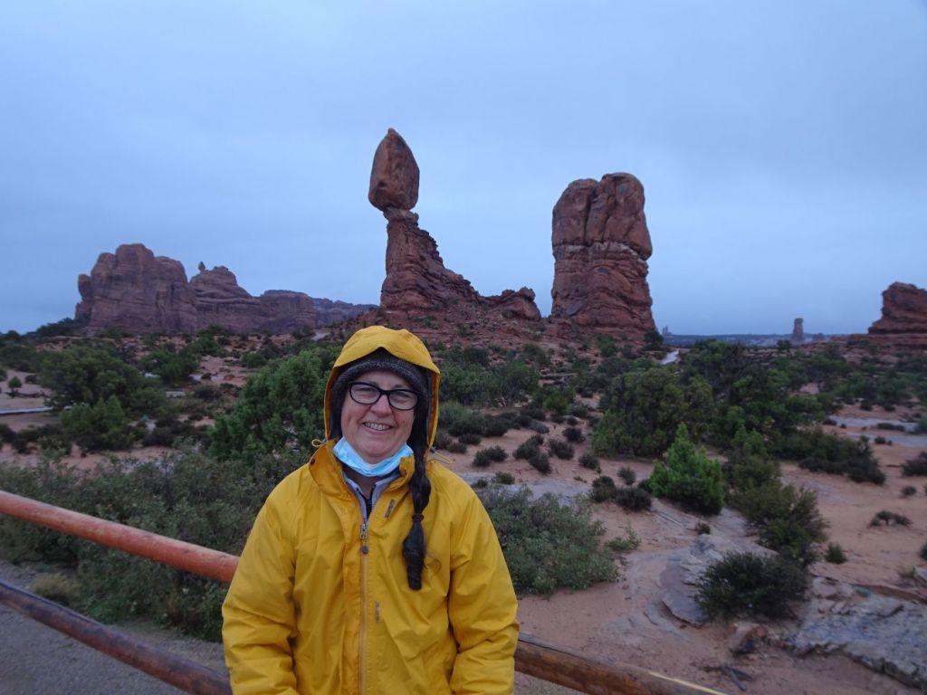

The park has a main thoroughfare, with a number of handicapped accessible paved walking paths in and amongst the stunning rock formations this park is named after.
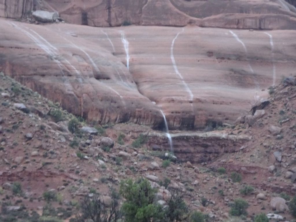
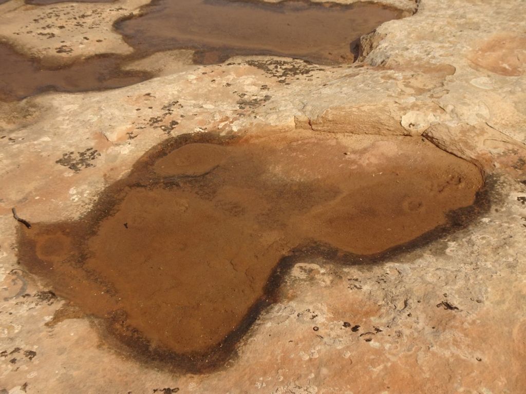
I was entranced by the streams of water flowing across the bare desert rock,

“streams in the desert” that engendered a biblical feel to the area. When we returned the next day, the streams were gone, with little hint of their presence the day before, just a very few puddles remaining in spots.


Our second visit was delayed this second day. The promised crowds had returned, the park was full and closed to more visitors when we arrived, so we found other things to do till we could return later in the afternoon. When we did return, the crowds on the paved walking paths out to see arches and other rock formations were oppressive. We took in some views, but it was difficult to enjoy with so many others visiting the same paths.
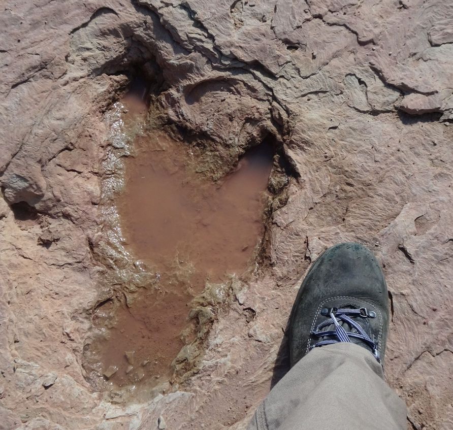
Waiting our turn to get back to see the rest of Arches National Park, we looked on Google maps and found a spot nearby that promised dinosaur tracks, Copper Ridge Dinosaur Tracks. This was not nearly the Easy Walk we enjoyed at the national park. My hiking poles came in very handy as we headed up the slope to the marked out tracks in the rock. The trail kiosk promised there were additional tracks, but I did not find them. As it was, we had fun seeing the huge tracks that we did. This spot was much less crowded than Arches. Just a few others were there at the same time that we visited.
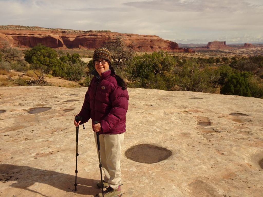
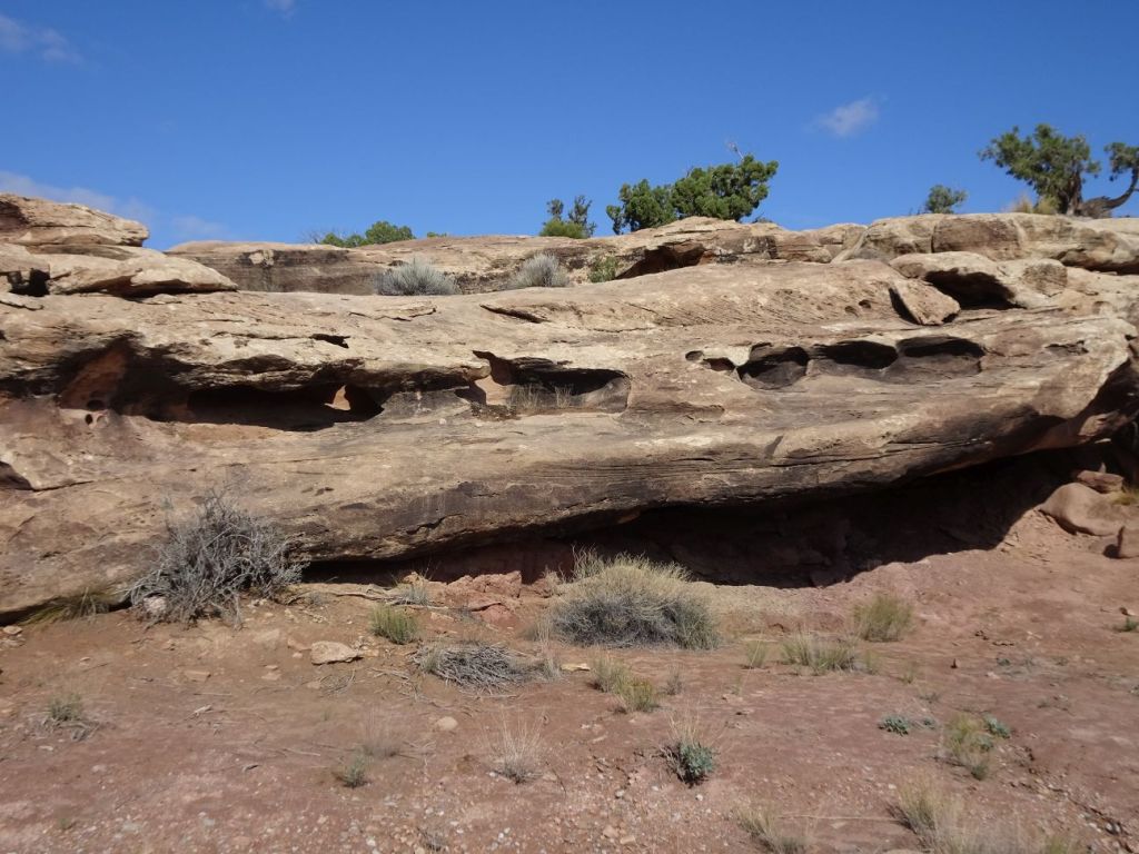
We spent another day in the area (five in total) and headed towards Canyonlands National Park, also in the general Moab area. On our way to Canyonlands we spotted a number of informational kiosks offering interpretive information. These were on BLM (Bureau of Land Management) land. One stop offered information about desert plants. Another pointed us to “potholes,” depressions in the rock surface, formed by water action in years past, and now a valuable source of collecting water from the rare rains in this desert environment. Since it had recently rained, some of the potholes retained water.

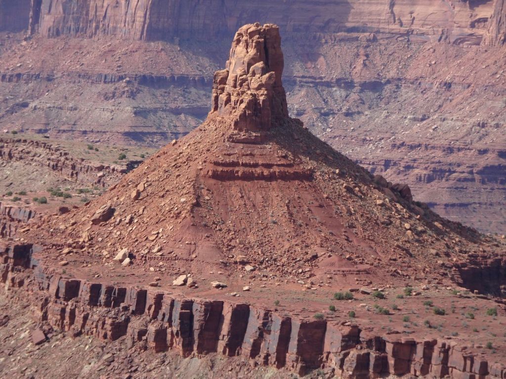

Before we reached the Canyonlands entrance, we spotted a sign for a state park, Dead Horse Point, and thought it might be less crowded than the national park. We found there scenery that rivals what the Grand Canyon offers. I spent the afternoon perched at an overlook while my husband took a hike along the canyon rim. He saw perhaps two others the entire two hours he hiked along the rim of the canyon, created by the Colorado River. As I peered out over the canyon, I kept seeing cars driving down a dirt track on the opposite side of the river. I was intrigued….

The actual “Dead Horse Point” was quite crowded, so we spent only a short time there.

We got views of the La Sal mountain rainge in the distance, as well as strange bright blue stripes on the desert floor below us. These were salt pans–industrial structures evaporating salt from the ground. The views at the point were lovely, but I was happier with the spot that overlooked the views of the canyon where I had hung out earlier at this state park.

There I could watch the clouds, and be watched by a small desert chipmunk variety of critter, yellow (yellow cheeked chipmunk) rather than the brown striped chipmunks I was familiar with. He was too fast for me to photograph, but it was a great reminder than the desert, while stark, is not nearly as barren as some might think.
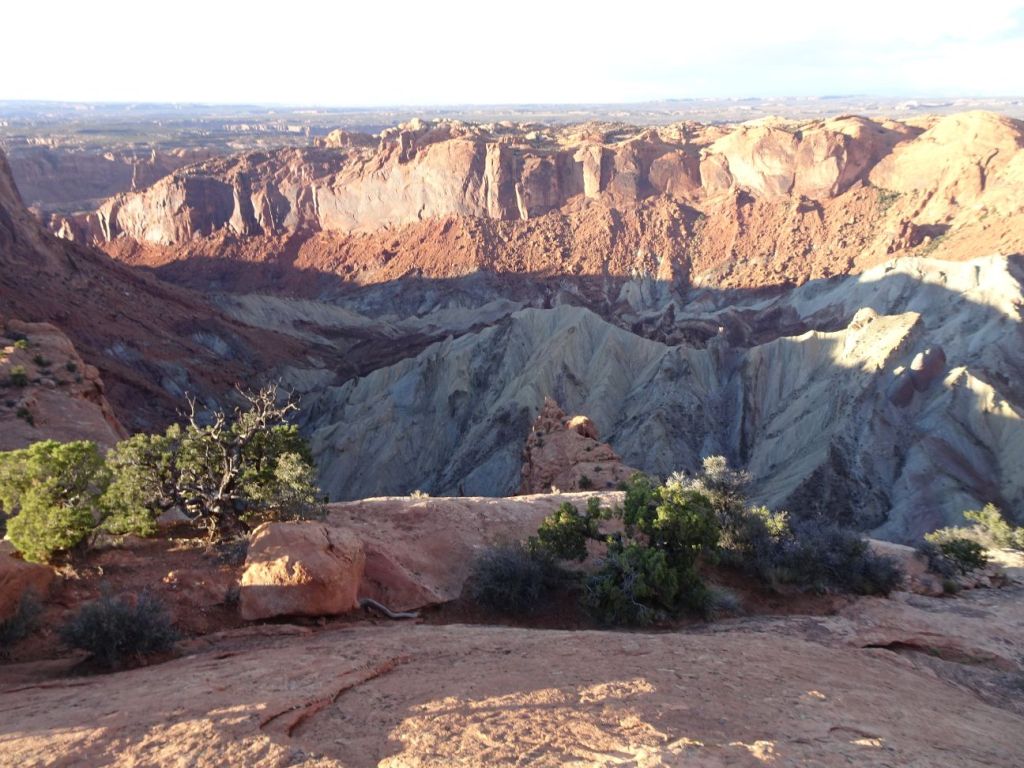
We arrived at Canyonlands near dusk, leaving time only for my husband to take another quick hike up to where a meteor possibly crashed into the desert so many years before. This is a huge park–we did not do justice to it on our short visit.

We read in the park pamphlet of a road down into the canyon–ah, mystery solved. This was where those cars I had seen from Dead Horse Point State Park had been gaining access to the canyon. I was curious, and we took our four-wheel drive truck down the track only a short distance when it became clear that we had neither time, nor were comfortable navigating this rough track with steep drop offs right next to the road.

A rail trail brings visitors alongside the Colorado River, across a bridge and over to the entrance to Arches National Park.

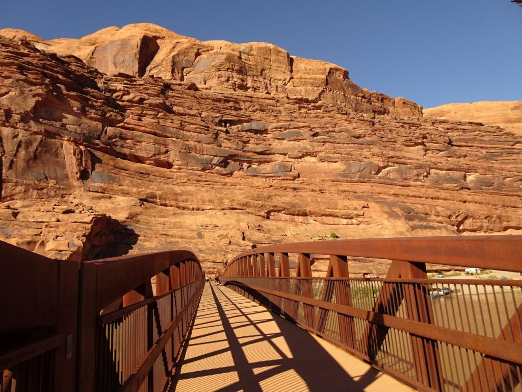
We took an afternoon to walk on the rail trail next to the Colorado River and across the bridge. Because of the rugged geography, there is little space between the road next to the river and the rail trail. While beautiful, the noise level is rather overwhelming. An impressive number of mountain bikers use both dirt tracks all through the Moab area and this rail trail, so walkers must take care or risk collisions.
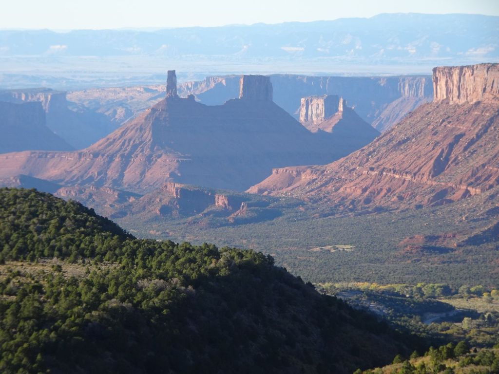

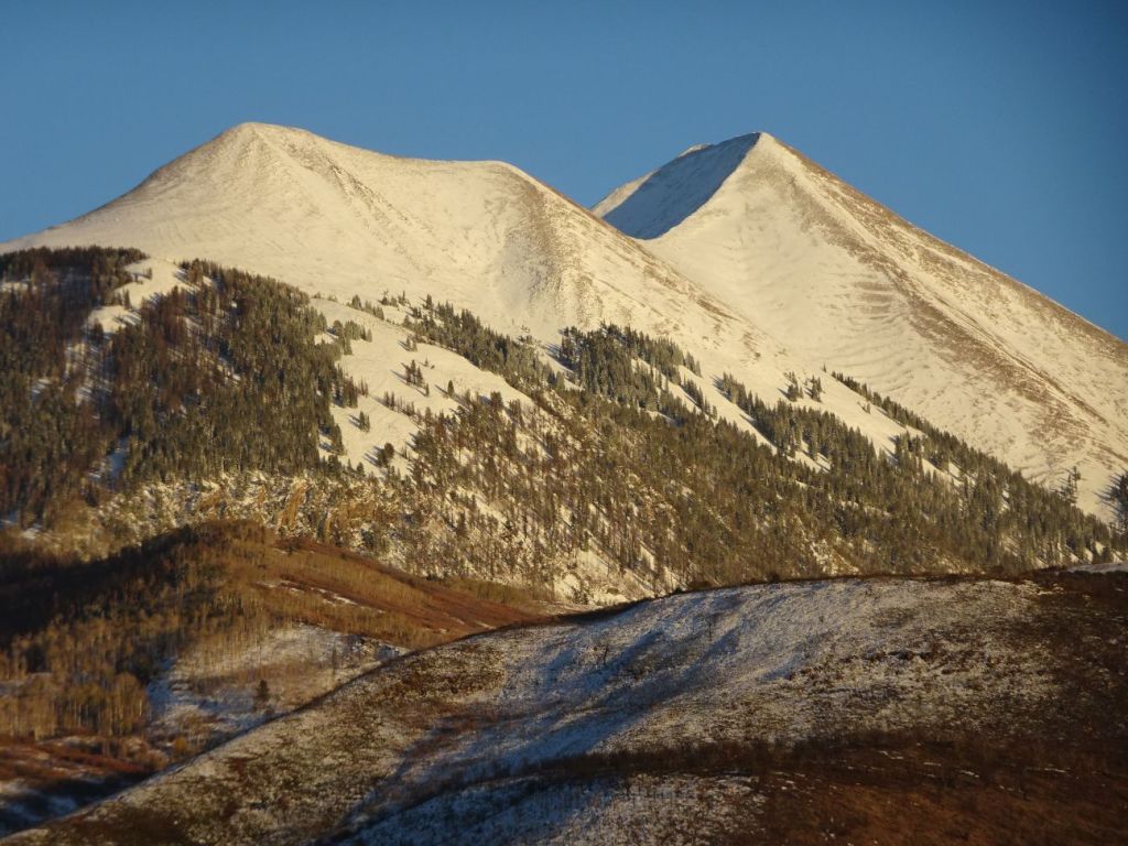
Before we left the area, we took a ride up through the La Sal mountain range, a paved loop road reaching about 8000 feet in altitude. As we climbed, we saw more and more snow on the sides of the road, and took in views of the snow-covered peaks. Various pull offs offered stunnning views of the surrounding area.

On our way back down, we drove over numerous cattle guards, and perhaps not too surprisingly, encountered cattle in the road, as well as cows on both sides of the cattle guards. Evidently highly motivated cows are able to easily evade the cattle guards to reach where the grass is greener….
Cold weather was catching up with us, and we had more stops planned before heading back east. We packed up and headed back east into Colorado. Our next stop, Mesa Verde National Park, on our way to Carlsbad Caverns National Park. Happy trails!
Marjorie

Marjorie Turner Hollman is a writer who loves the outdoors, and is the author of Easy Walks in Massachusetts, 2nd edition, More Easy Walks in Massachusetts, 2nd edition, Easy Walks and Paddles in the Ten Mile River Watershed, Easy Walks South of Boston and Finding Easy Walks Wherever You Are. Her memoir, the backstory of Easy Walks, is My Liturgy of Easy Walks: Reclaiming hope in a world turned upside down.
