

Marjorie Turner Hollman is a writer who loves the outdoors. Link to all Marjorie’s books.
While it was difficult to tell from the maps we studied and the trail reports we read, it looked as though the Quinebaug Rail Trail in Dudley, MA might offer a bikeable path for us to explore. If we found this not to be true, we had Plan B at the ready, to travel just a short ways north to join up the Grand Trunk Rail Trail in Southbridge.

It was a gorgeous weekend summer morning when we headed out. The Covid-19 virus is still a reality in our area, and we continue to use all precautions necessary to keep some distance between ourselves and others. We arrived mid-day in Dudley, and found just a few cars in the parking lot off Mill Road, and only one other person was getting ready to head onto the trail.

We headed south first, but quickly came to the Connecticut state line, and a section of trail with wooden railroad ties still in place along the path. The other direction looked much more promising so we headed north.

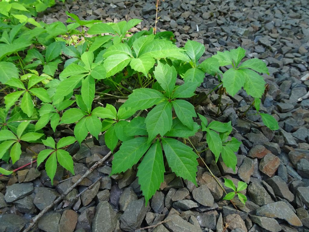
The other side of Mill Road looked narrow, with lots of shrubs growing in, but before long the trail opened up and was much easier to get through. Throughout the ride we kept a close eye out for poison ivy, which seems quite determined to grow in from the sides of the trail.
At least when we on the trail we saw few other visitors. One or two walkers, a couple of bikes, and that was it. We had the trail to ourselves for almost the entire ride.


All along the trail were signs offering information about the natural history to be found along the trail. A nice touch, even if the plants noted were not always readily apparent. Clearly someone cared enough to post these signs in hopes of challenging fellow travelers to look more closely at the surroundings.

I tend to notice signs that the trail was once an active rail line. Piles of old railroad ties were stacked carefully in some sections, in other areas the ties were tossed carelessly to the side. The local wildlife seemed to appreciate the added hiding places. We spotted a large black snake slither inside a pile of ties as we pedaled by.

As we approached West Dudley road the trail narrowed and seemed to exist only because of dirt bikes keeping it open.

When we headed back later we realized the the original trail out to W. Dudley Road has been blocked by a huge fallen tree. Unless maintenance is done to remove the tree, the only track farther north is the steep dirt bike path up to the road.

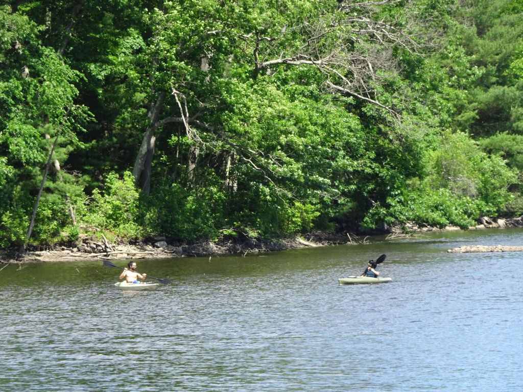
At W. Dudley Road we came upon great views of the Quinebaug River. A hydropower station with a dam was next to the road, creating a larger reservoir, and just beyond the dam was a canoe put in.

We saw a number of kayakers heading out as we traveled alongside the waterway. Parking for trail access is available at this road junction. Picnic tables are set out, but do watch for poison ivy. It is everywhere!
We crossed the bridge by the dam and found the rest of the trail on the west side of the river. It was great to see plenty of milkweed growing along the trail in the sunshine next to the water.

Just north of West Dudley Road the trail continues and is in pretty good shape until shortly after we passed another small bridge, where the trail surface quickly became unmanageable.
Large, sharp stones had been laid down as a trail surface, but difficulty maintaining control of our bike, and worrying about popping a tire soon persuaded us to turn around before we reached the next road crossing at Rt. 131 in Southbridge.

When we got back to West Dudley Road we crossed the bridge again and checked out what looked like another trail following the river north, along the east side of the river.

It turned out to be much more a fisherman’s path, with lots of large rocks sticking up and jouncing us around. Not a great place to ride. Walking would have been fine, but again, look out for poison ivy!

We are grateful to the town of Dudley for the work put into this trail. While it is not in perfect condition, this lack of perfection perhaps kept crowds away, which is what we were hoping for. A peaceful ride, no crowds, and a beautiful day to enjoy the sunshine. And best of all, neither of us got any poison ivy, despite having some close calls. A pretty ride all together. Happy trails!
Marjorie

Marjorie Turner Hollman is a writer who loves the outdoors, and is the author of Easy Walks in Massachusetts, 2nd edition, More Easy Walks in Massachusetts, 2nd edition, Easy Walks and Paddles in the Ten Mile River Watershed, Easy Walks South of Boston and Finding Easy Walks Wherever You Are. Her memoir, the backstory of Easy Walks, is My Liturgy of Easy Walks: Reclaiming hope in a world turned upside down.

looks like some very green trails to go and explore.
We enjoyed our time there. Have fun!
thanks you too.
MAY I REBLOG THIS ONTO MY BLOG…ENTITLED, “BY THE MIGHTY MUMFORD”-? 😀
Certainly–thanks for asking–please include a link back. Happy trails!
thank you very much! we locals got to stick together! 😀
🙂 🙂
Reblogged this on By the Mighty Mumford and commented:
I WANNA TRAVEL THIS ! ANYBODY WILLING TO GO WITH ME???? 🙂
It’s a little rough in areas, but quite pretty. Enjoy!
The magic of old railway lines, as well as paths and trails. You never know what you are going to find until you get there!
Amen, amen, and amen–it makes a real difference getting out there. Thanks for commenting. Happy trails.
LOVE WAKING UPBAND FINDING THESE GEMS KNOW THE QUINEBAUG RT AND LOVE THE SOLITUDE AND THE PROSPECT OF CT DEVELOPING THE DIP DOWN THERE REAL NICE ALSO HAD PLANNED A DRIVE TO FRANKLIN TO CHECK ON TUNNEL PROGRSS NOW WONT HAVE TO DID THE UNDEVELOPED VTRAIL FROM FARM STREETVTO BELLINGHAM A CHALLENGE BUT REWARDIND JUST TO GO THROUGH TUNNEL HAPPY TRAILS MARJORIE
Thanks for commenting–yes, the tunnel along the SNETT in Franklin is nearly finished. We await eagerly its opening. Will certainly let folks know when that happens.