
My friend Sue suggested we do some exploring along the Charles River, so we set out early thing morning, with only a vague plan in mind. By the time we finished, we had visited trails in three surrounding towns, all of which access portions of the Charles River and/or tributaries of the Charles.
First stop was the High Street Trail in Bellingham.

Charles River, High Street Trail, Bellingham, MA
It is much easier to find the trailhead now that Sean Boddy, Eagle Scout, has completed his project(s) and made the trail much more visible, accessible, and easier to follow. Sean did a great job marking the trail to the Charles River, and the return path as well. It’s clear that we need rain–the river is very low.
Next we stopped by North Field, just off Rt. 126 in north Bellingham. We’d spied the Charles twice as we drove from High Street to North Field, but did not stop. I knew that somewhere behind this field the Charles River flows as it wends its way through Pilgrim Village, but it turns out the river is a few blocks north of the field, and there was no access to it from where we were. We did discover traces of the old Medway-Bellingham trolley line (at least the GPS noted its existence) but no path, so onward into Medway we went.

Charles River, Medway (behind the Police Station)
We made a quick stop at the Medway Police Station on Village Street, to access a trail only about 50 yards long, to public access along the Charles. The river was so low at this spot we could have walked across it at some points.

Parking area, Amphitheater, at back of Sanford Mills, Medway
Onward to Sanford Mills, where we braved the “private property, residents only” signs and made our way to the back of the property where we parked in the new parking circle at the Amphitheater. What a great improvement since my last visit; 6 cars can fit into the parking area off the pavement. A small canoe ramp is quite near the parking area, but the Charles is so low it is not a great time to try paddling.

Swimming rock, Amphitheater. Rock completely out of the water
We crossed the Charles into Franklin, and stopped at Dacey Field, where the Disc Golf trail and the hiking trail coexist.

If you find any little Frisbees, here’s where to put them!
Since my last visit, new signs, a wide trail for about 50 yards, and trail markings have been installed. A feeder stream into the Charles was bone dry, but one bridge over this stream provided a teeter-totter experience–the culvert underneath the bridge appeared to have been installed a bit too high. On my previous visit to this trail I walked an easy loop trail, but this time we circled the opposite direction, and found ourselves heading off course. We turned around, and I’ll have to return when I can spend more time figuring out the trail. When we turned around I opted to avoid the teeter-totter bridge and walked across the very dry stream bed. Along the way we discovered some cool mushrooms,
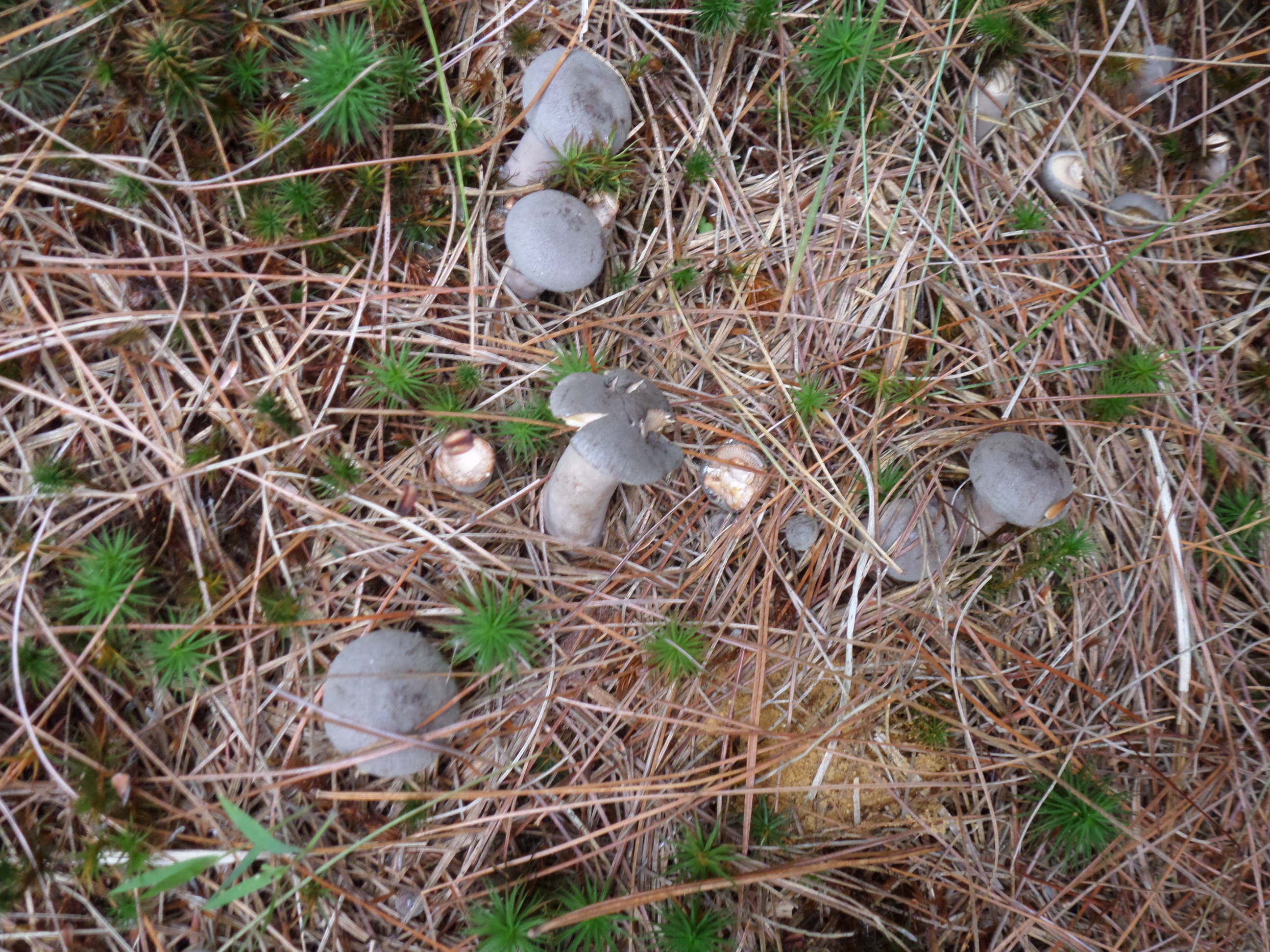
Mushrooms along the path, Dacey Field trail, Franklin

More mushrooms along the path. Dacey field trail, Franklin
as well as a very dead bird; perhaps a young robin?

Dead young robin? along the path
Our last stop was at the Franklin Sculpture park, where a small stream flows through the middle of the park.

Feeder stream, Sculpture Park, Franklin, MA
The stream feeds into the Mine Brook, which ends up in the Charles River. Throughout our travels we spotted lots of fall foliage, trees beginning to change, as well as large swaths of Virginia creeper and poison ivy turning scarlet.
What fun to revisit familiar places, share them with a new friend, and see them with new eyes. We saw so much color as we wandered these several trails, getting down to the river bank and walking along feeder streams . But we were also sobered by the water level in the Charles. Rain is predicted the next few days, and I for one will not complain–not at all. Let it rain!
Marjorie
Marjorie Turner Hollman is a writer who loves the outdoors, and is the author of Easy Walks in Massachusetts, 2nd edition, More Easy Walks in Massachusetts, 2nd edition, Easy Walks and Paddles in the Ten Mile River Watershed, and Finding Easy Walks Wherever You Are. Her memoir, the backstory of Easy Walks, is My Liturgy of Easy Walks: Reclaiming hope in a world turned upside down.

Reblogged this on Em Turner Chitty and commented:
Nice post from my cousin Marjorie Hollman!