
Marjorie Turner Hollman is a writer who loves the outdoors. Link to all Marjorie’s books.
LISTEN HERE

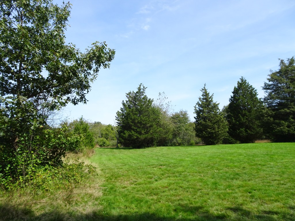
The trail guide, Easy Walks South of Boston includes over fifty open space areas in seventeen contiguous towns south of Boston, thus the title. I recently visited several of these paths on a beautiful, blue-sky day in early fall. We saw touches of color but nothing like the show that awaits us in autumn in New England.
Over several months, Marilyn and Dave Doré, my collaborators, visited the 50+ destinations that now constitute this newest trail guide. I am endeavoring to visit many of these places in the coming month or so in preparation for upcoming Easy Walks presentations in various towns. The programs will be open to the public.
We traveled to Canton to wander alongside Ponkapoag Pond, then continued to Randolph where we stopped at Powers Farm and got views of Norroway Pond. A well-made boardwalk through an eastern cedar swamp offered us some cooling shade after having walked in the sunshine through former farm fields. Our last stop was in Westwood, and despite the lack of signage we were able to locate and traipse along the woodland path out to an open mowed field at the Currier Reservation.

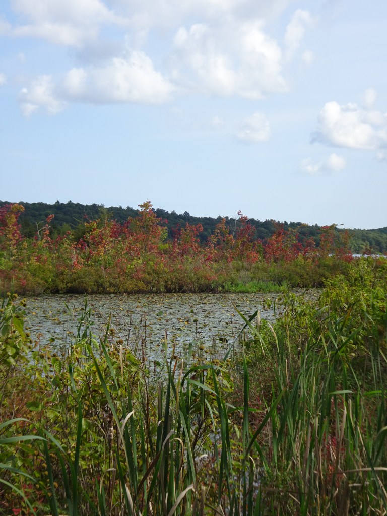
The level gravel path around Ponkapoag Pond sticks close to the water except where is must skirt the bog mat that covers a sizeable portion of the pond. To reach the pond-side path, from the Ponkapoag Golf Course parking area, we followed a paved walkway lined on both sides with maple trees. The mature trees offer welcome shade in summer, and will soon drop their leaves, which will make for sunny walking in colder months.
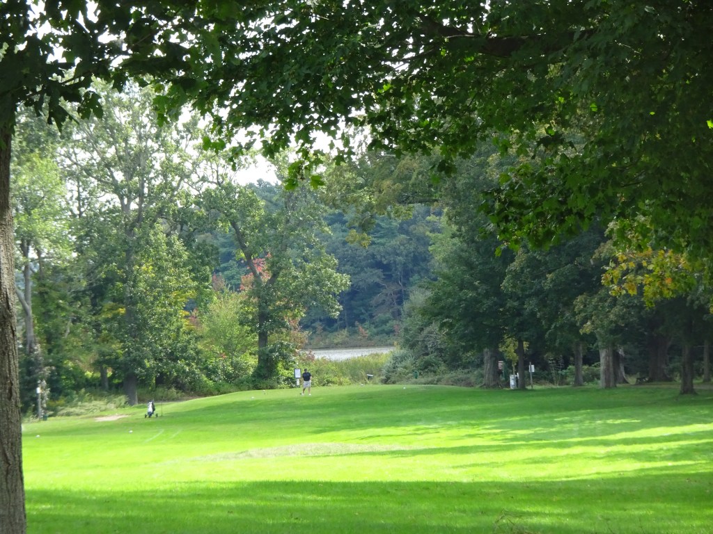
On either side of the pavement golfers whacked balls toward the holes they hoped to drop their golf balls into. The golfers seemed to have good aim and quite skilled. Golf balls stayed where they belonged and away from the road we walked on.
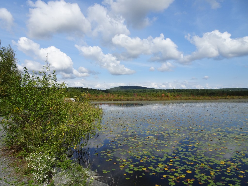
Once we reached the pond we encountered a few other walkers, one bicyclist, and a man on horseback. The sounds of Rt. 93 are present, but on the golf course side of the pond the traffic noise was muted. Looking back from where we had just gotten onto the path we got some views of Great Blue Hill, (which is where WGBH got its name). Radio towers are visible, perched near the crest of the hill. Swamp maples at the edge of the pond are already turning red. These wetland trees are some of the first harbingers of fall.
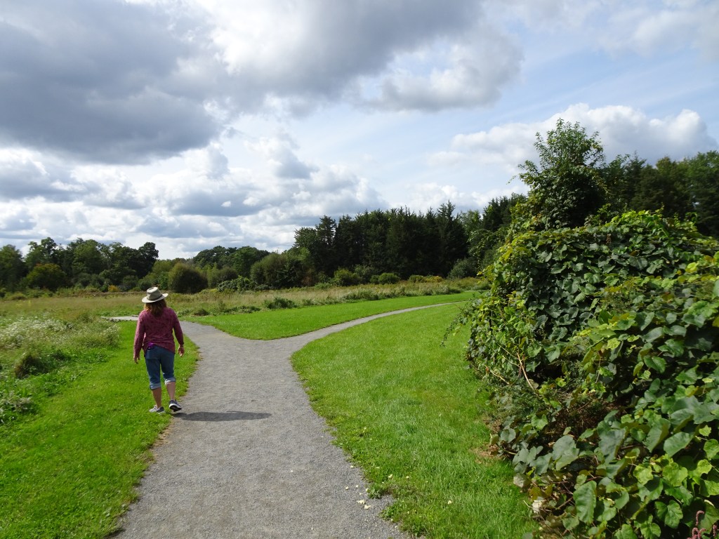
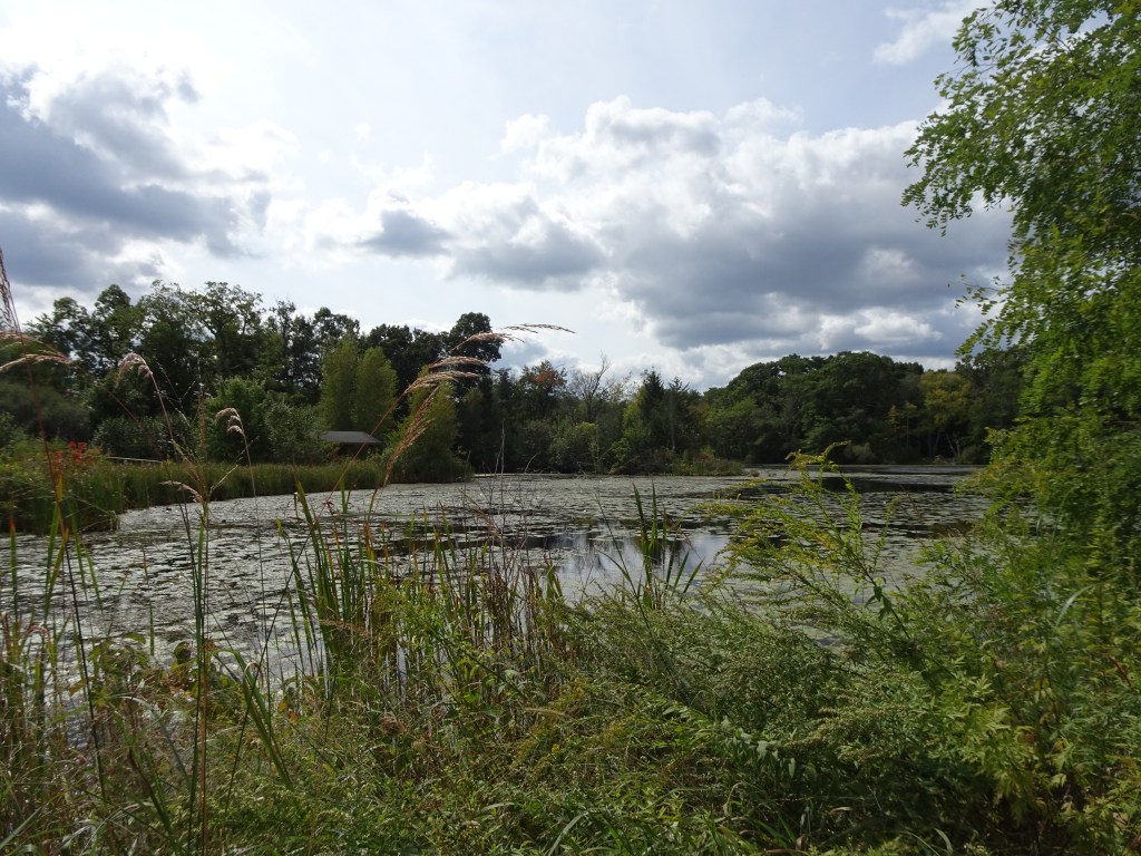
Powers Farm/Norroway pond in Randolph was our next destination. Marilyn and Dave tell me it’s become their favorite spot to get outside. Level, packed stone dust paths take visitors around the edge and through the middle of the open fields presently filled with late summer asters and other plants.
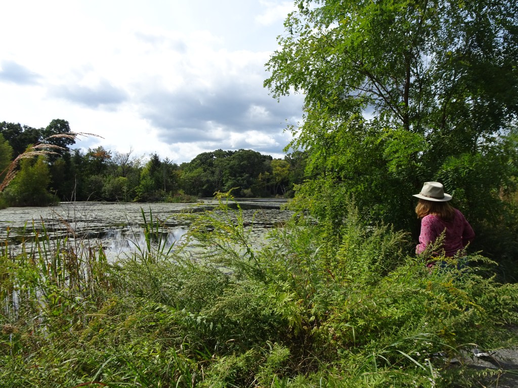
We found benches along the way, and got some nice views of Norroway Pond.
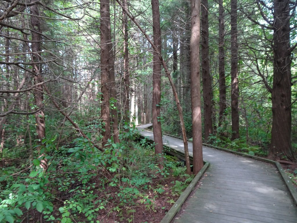

The boardwalk through the cedar swamp offered some cooling shade after walking around the open fields in full sun.

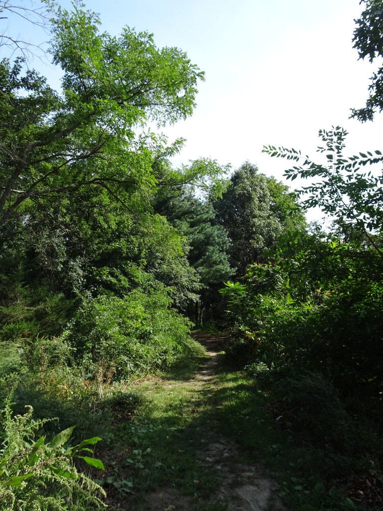
Our last stop was in Westwood, at the Currier Reservation. Some type of construction alongside the entrance caused us to miss the small parking area on our first pass through the neighborhood. The phrase, “Let’s sneak up on it,” is a frequent refrain in our family when we’re in search of a new place. My travel buddy Pam and I dutifully “snuck up on it” and finally found the entrance to the open space. We headed out on the woodland footpath that rises gently toward an open field quite near the highway. It would be difficult to get lost here. The footpath is edged on one side by neighbors’ yards. The other side is wooded, much is edged with poison ivy, with one marked trail headed off into the woods. We did not explore this additional trail but continued uphill to the mowed field. It is clear that someone takes care of this property. The mowed grass was easy to walk on and offered access to enjoy a small wildflower garden at the edge of the open area.

To document needed information for Easy Walks South of Boston, my collaborators, Marilyn and Dave, faithfully completed my Easy Walks field work template form at each destination they visited. They gathered specific information that readers have told me is helpful. The template asks questions about where to park, what the trail surfaces are like, the presence (or absence) of benches, and what is interesting about the destination. They located information about where dogs are welcome, took multiple photos and gathered additional details that are now included in the book. We used the same format for this newest trail guide that is found in the other Easy Walks books. Fifty-three contiguous Massachusetts towns, plus a few in northern RI comprise the municipalities that we have researched, and in which we have found Easy Walks.
Here’s a reminder. Easy Walks (in my books) are outdoor open space destinations that have not too many roots or rocks, are relatively level with firm footing, and have something of interest along the way. I look forward to hearing what you find. Head out to discover for yourself what is waiting for you. Lots of Easy Walks, and much more await. Happy trails.
Marjorie

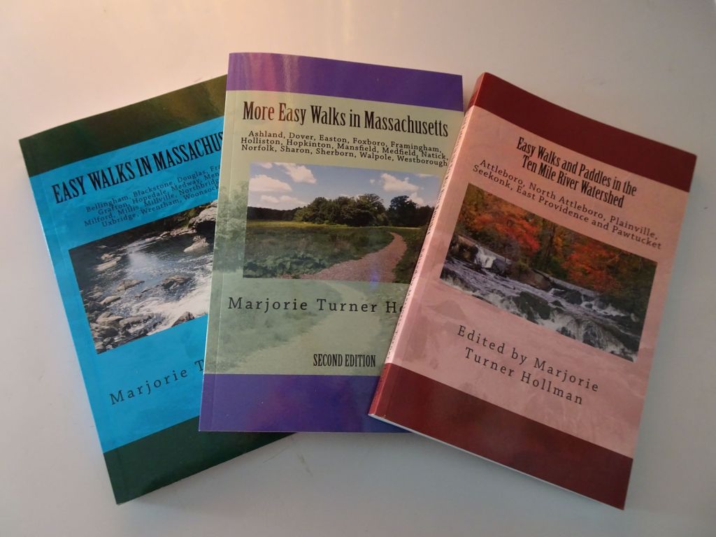
Marjorie Turner Hollman is a writer who loves the outdoors, and is the author of Easy Walks in Massachusetts, 2nd edition, More Easy Walks in Massachusetts, 2nd edition, Easy Walks and Paddles in the Ten Mile River Watershed, Easy Walks South of Boston and Finding Easy Walks Wherever You Are. Her memoir, the backstory of Easy Walks, is My Liturgy of Easy Walks: Reclaiming hope in a world turned upside down.
