

The ferry from Sydney in Cape Breton lands in Port aux Basques in southwest Newfoundland. Many travelers quickly head north (to Gros Morne National Park?), never realizing the treasure they are passing by right around the corner from where they started. While we had never visited this portion of Newfoundland, we saw enough in on-line articles and simply by looking at Google Maps and Google Earth to feel this area would be worthwhile exploring.
After only a day or two exploring we extended our stay at J.T. Cheeseman Provincial park campground to allow us to spend more time enjoying places we found that offered Easy Walks. The Visitor Center next to the Trans Canada highway is just a mile or so from the ferry landing. We obtained there great maps and brochures. Knowledgeable staff pointed us to possible destinations that might be workable for me. We were so glad we stopped there!


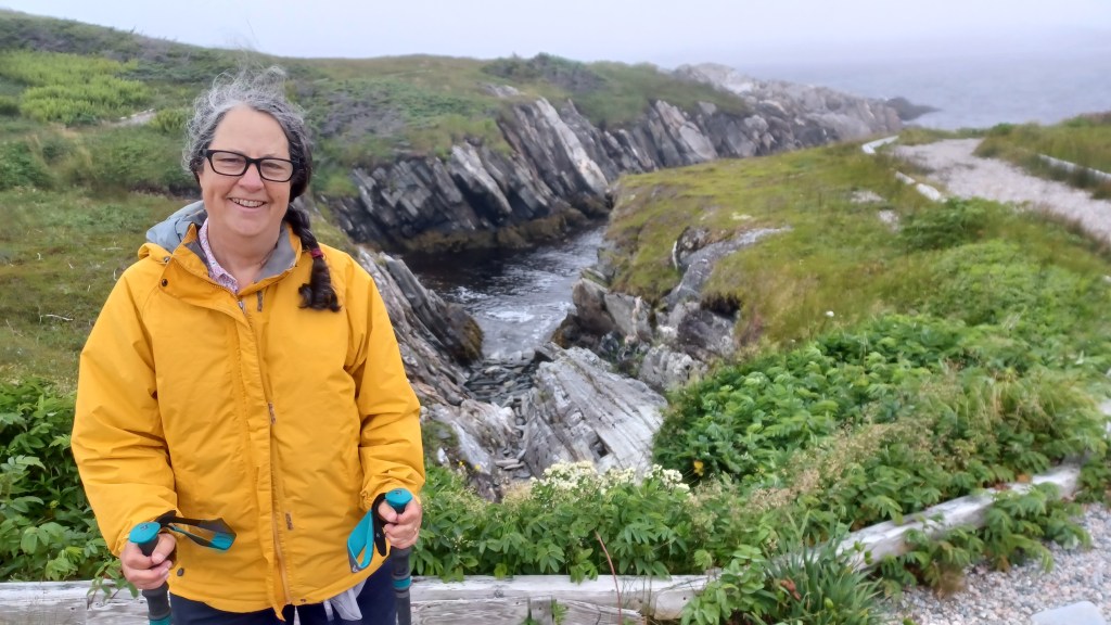
Isle au Morts offered great walks across cliffs and bogs. Down the road toward Rose Blanche is Barachois Falls. Residents in this area have been working since the 1920s to make this scenic waterfall accessible to visitors. While not handicapped accessible, the wide board planking and roofing shingles nailed to the boards in the sloped sections make for solid footing. The three quarter-mile boardwalk brings visitors to just below the falls which pour into the river heading to the sea just on the other side of the road where the trail begins. There are no railings on the boardwalk, so those of us who have balance concerns will want to be sure to have a companion ready to offer a hand on the sections that have inclines.
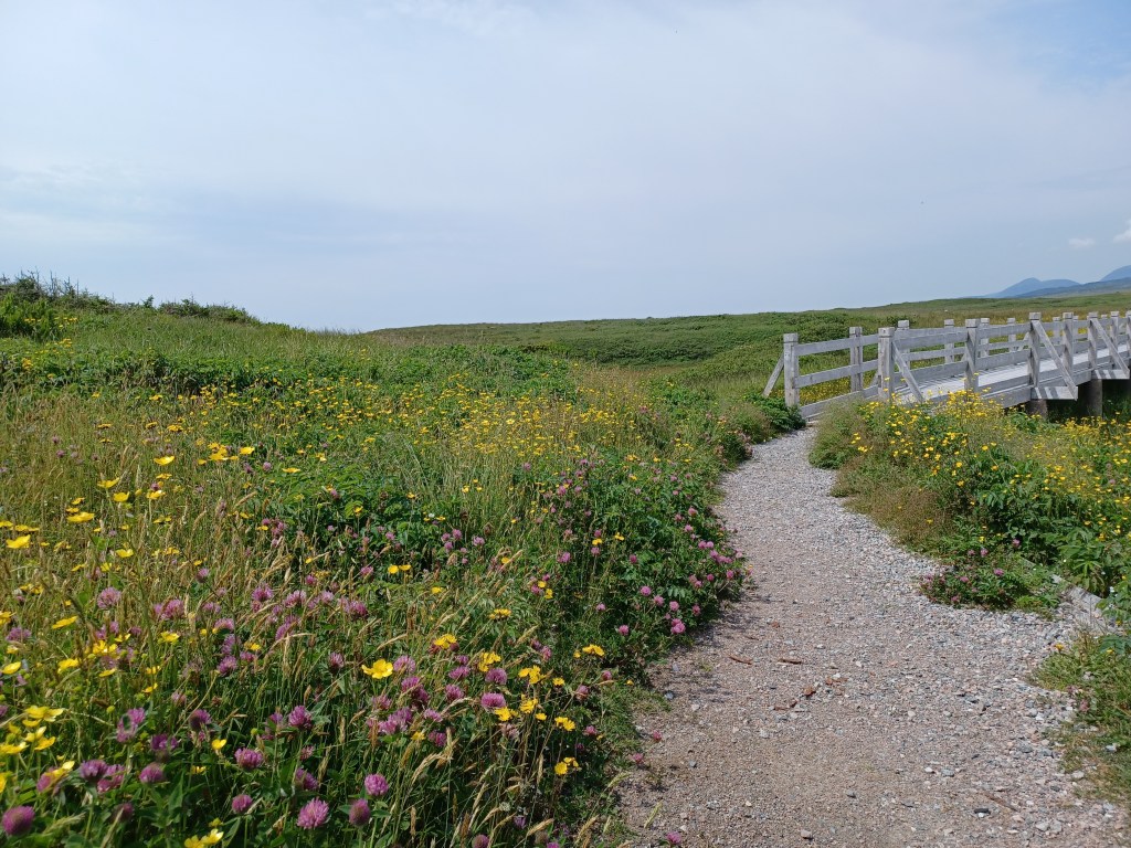
Grand West Bay, just west of Part aux Basques, has a sandy beach and a quarter-mile boardwalk at the edge of the beach leading to the mouth of the bay. The boardwalk has railings and offers nice views of moors to the right as you move away from the parking area, and views of the bay on your left. Benches along the way make this a most welcoming walk, a place to take in the scenery and/or visit with friends or new acquaintances.
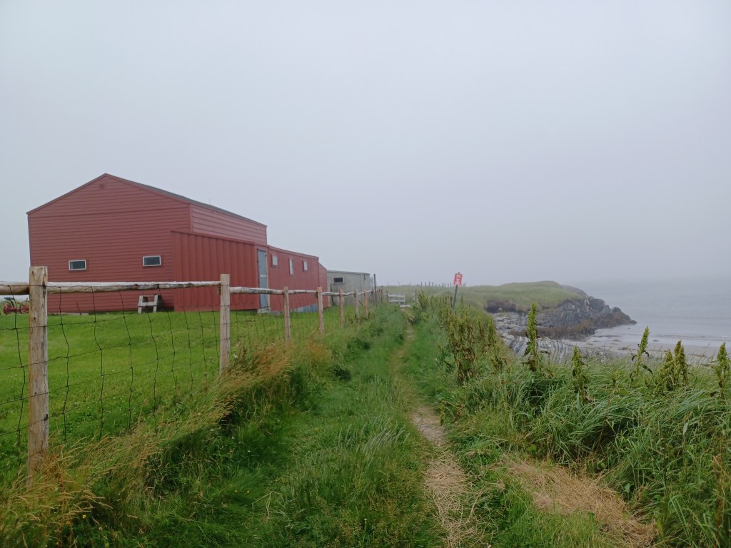
Once the boardwalk ends, a well-worn path takes travelers along the edge of the shoreline. Open fields, clearly grazed in the past, provide long distance views while the trail is for the most part an Easy Walk (few rocks, no roots and lots of interest along the way!). Locals carrying large buckets bent over in the fields searching for berries. Cloudberries and blueberries grow in this area, and both make for great eating. The path continues along the shoreline for farther than I was up to, but we found cut offs that led directly back to the beach area, making this area a place with options for those with varied levels of endurance.

Many of the ponds and streams flowing to the sea in this area have a dark brownish tint–tannins in the water from the peat bogs create this distinctive coloring. It also makes the water not so tasty. We ventured a little north to the Codroy Valley on a rainy day, and found an agricultural area unlike the other rocky areas we had seen so far. The heavy rain meant we mostly did our sightseeing from our truck. We got some lunch and spotted this sign next at one waterway suggesting that it was a swimming area. The rain turned this stream into a raging torrent. An unlikely spot for bathing, at least on the day we visited.

Our next stop was the Stephenville area, a two hour drive north from Port aux Basques. There we found a number of Easy Walks, limestone cliffs, and a hidden waterfall. I will leave that for our next post. Happy trails!
Marjorie

Marjorie Turner Hollman is a writer who loves the outdoors, and is the author of Easy Walks in Massachusetts, 2nd edition, More Easy Walks in Massachusetts, 2nd edition, Easy Walks and Paddles in the Ten Mile River Watershed, Easy Walks South of Boston and Finding Easy Walks Wherever You Are. Her memoir, the backstory of Easy Walks, is My Liturgy of Easy Walks: Reclaiming hope in a world turned upside down.
